Best 3-Day Hikes in the Dolomites: Complete Routes & Itineraries
Discover the Dolomites’ best 3-day hikes with detailed routes, daily itineraries, difficulty insights, and essential tips for a seamless alpine adventure.

Ajda
Published December 17, 2025
Edited December 19, 2025
16 min read

Quick links
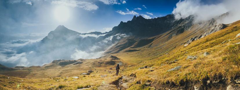
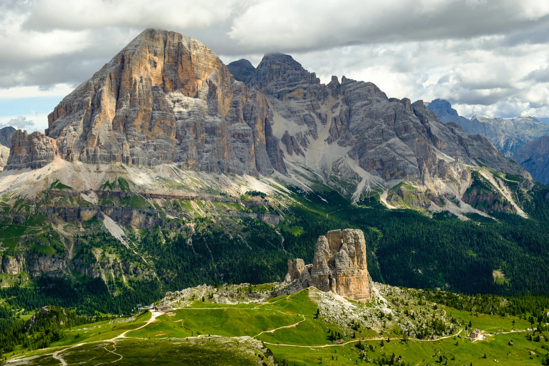
Not everyone has two weeks to tackle the legendary Alta Via routes. Whether you're squeezing adventure into a long weekend, testing the waters before committing to longer treks, or simply prefer shorter, more focused hikes, 3-day routes in the Dolomites offer the perfect balance of challenge, scenery, and practicality.
This guide covers three exceptional 3-day hiking routes across different regions of the Dolomites. Each route offers a distinct character, scenery, and level of challenge, making it easy to find the perfect match for your fitness level and interests.
What to Expect on 3-Day Hikes
Three-day routes in the Dolomites are designed to maximize scenery and experience while maintaining manageable daily effort. Here's what you can typically expect:
Daily Distances: 8–15 km per day, depending on the route and terrain. Some days may be shorter but involve more elevation gain; others cover more distance on gentler slopes.
Elevation Gain: 500–900 meters per day on average. Expect sustained climbs in the morning and gradual descents in the afternoon, though terrain varies significantly between routes.
Terrain Types: A mix of well-maintained forest paths, open alpine meadows, rocky sections with loose scree, occasional via ferrata or cable-protected passages, and ridgeline traverses with exposed views.
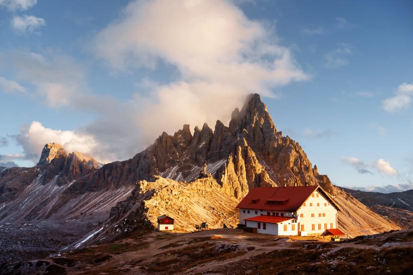
Accommodation: Most 3-day routes use mountain huts (rifugi) for overnight stays, offering shared dormitories, hearty meals, and a genuine alpine atmosphere. Some routes, like Seiser Alm, use valley hotels for more comfort.
Fitness Level Required: Moderate to demanding. You should be comfortable hiking 5–7 hours per day with a daypack, ascending and descending steep terrain, and maintaining balance on rocky, uneven surfaces.
Best Season: Late June to mid-September. Early season (June) may have lingering snow on higher passes; late season (late September) brings cooler temperatures and earlier hut closures. July and August offer the most stable weather but also the busiest trails.

Why Choose a 3-Day Hike
Three-day hikes strike the ideal balance between adventure and accessibility, offering a genuine alpine experience without requiring extensive planning or time off work.
Time-Efficient Adventure:
Experience iconic Dolomite landscapes—towering peaks, alpine meadows, crystal lakes—in just one long weekend while keeping the trip manageable for limited vacation time.Easier Logistics:
Fewer huts to book, less gear to carry, and flexible scheduling. Last-minute planning becomes feasible, and weather adjustments won't derail your entire trip.Perfect Introduction to Alpine Hiking:
Test your fitness and comfort level with technical terrain and rifugio life in a low-risk format before committing to longer routes like Alta Via 1 or 2.Less Physically Demanding:
Lower cumulative elevation gain means more time to rest, enjoy meals, and appreciate surroundings without racing against daylight.Ideal for First-Timers:
Build confidence with navigation, packing systems, and hut-to-hut rhythm—all valuable experience for future adventures.Year-Round Flexibility:
Three-day trips fit easily into packed schedules around work, family, or other travel commitments.
When to Go
The Dolomites' high-altitude terrain means conditions vary significantly throughout the year. Choosing the right time to hike directly impacts safety, scenery, and overall enjoyment.
Best Months: July–September: This is the primary window for 3-day hikes. By early July, most trails are snow-free, rifugi are fully operational, and weather is generally stable. August offers the warmest temperatures but also the busiest trails and highest hut demand.
June: Possible But Variable: Early-season hiking is feasible on lower-elevation routes like Seiser Alm, but higher trails may still hold snow. Routes involving passes above 2,200–2,400 meters can be tricky, with icy sections and reduced visibility. Check current conditions before committing to June dates.
Peak Season: July–August: These months offer the most predictable weather, longest daylight hours, and full hut services. However, trails are busier, rifugi book out weeks in advance, and afternoon thunderstorms are common. Book early and start hikes before 8 AM to avoid crowds and weather.
Shoulder Season: Late June & September: Late June and September are ideal for those seeking quieter trails, cooler temperatures, and excellent visibility. Weather remains stable, though September brings earlier sunsets and occasional cold snaps. Huts may start closing by late September, so confirm operating dates in advance.
Weather Considerations
Afternoon thunderstorms are frequent in summer, especially in July and August. Plan to reach your day's destination by early afternoon to avoid exposure on ridges and passes. Always carry waterproof layers and check forecasts before starting each day.
For a comprehensive month-by-month breakdown, see our Dolomites weather guide.
What to Pack
Three-day hikes require less gear than longer routes, but packing efficiently remains essential. A well-organized pack keeps you comfortable, safe, and mobile on steep terrain.
Core Clothing Layers
Moisture-wicking base layer (short- and long-sleeve options)
Mid-layer fleece or light insulated jacket for cool mornings and evenings
Waterproof shell jacket and trousers with taped seams and a solid hood
Convertible hiking trousers or shorts plus light thermal tights for cooler days
Spare socks (merino or synthetic, 3–4 pairs)
Light gloves and beanie for early starts and high passes

Footwear
Sturdy hiking boots with good ankle support and grippy soles (B1/B1.5 category recommended)
Light camp shoes or sandals for rifugi to rest your feet
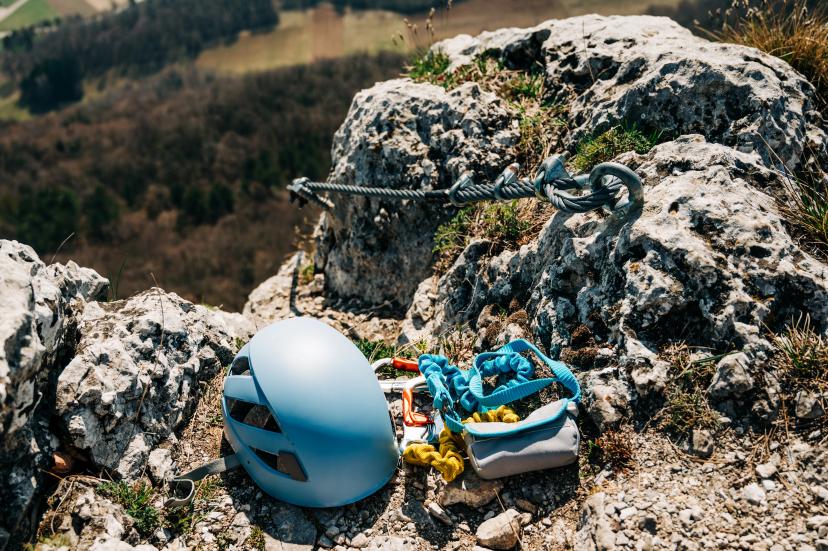
Technical & Safety Gear
Adjustable trekking poles for steep ascents and descents
Headlamp with spare batteries
Small first-aid kit and emergency blanket
Sun protection: sunglasses, cap, high-SPF sunscreen
Helmet (optional, but useful for rockfall-prone areas or via ferrata sections)
Hydration & Navigation
2–3 liters of water capacity (bottles or bladder)
High-energy snacks for long stages between huts
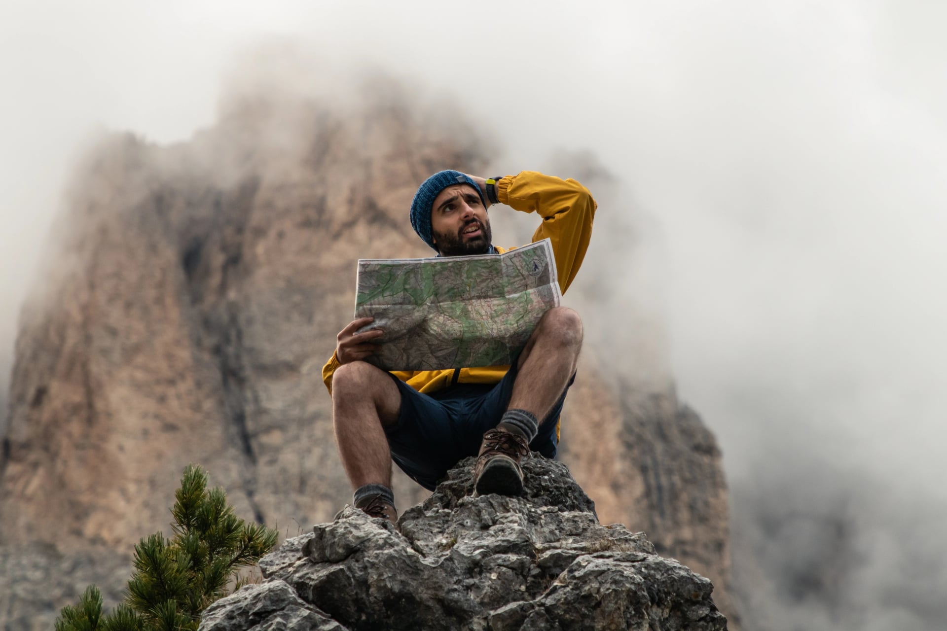
Paper map + compass and/or GPS app with offline maps
Powerbank to keep devices running
Miscellaneous Essentials
Sleeping bag liner (huts provide blankets, but a liner adds warmth and hygiene)
Earplugs (dorm-style rifugi can be noisy)
Small wash kit with biodegradable soap
Cash for payments (many rifugi don't accept cards)
Pro Tip: For 3-day hikes, aim for 8–10 kg total pack weight (without water). Staying within this range keeps climbs manageable and reduces strain on your knees during descents.
See more tips in our packing guide for the Alta Via.
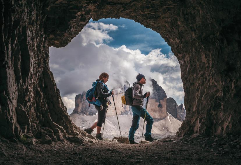
Accommodation: Rifugi vs. Hotels
Rifugi (Mountain Huts)
Traditional alpine huts offering shared dormitories, hearty meals, and an authentic mountain atmosphere. Facilities are simple but functional: expect bunk beds, communal dining, and limited electricity. Most rifugi serve multi-course dinners and simple breakfasts, with packed lunches available on request.
Pros: Authentic experience, social atmosphere, convenient trail locations
Cons: Shared dorms, basic facilities, advance booking essential
See our rifugio page for a full list of the best rifugios on the Alta Via 1 for inspiration and visuals.
Valley Hotels
Some routes, like Seiser Alm, use valley hotels offering private rooms, modern amenities, and more comfort. Hotels are ideal for those prioritizing rest, privacy, and a hot shower after each day.
Pros: Private rooms, better facilities, more flexibility
Cons: May require longer daily walking distances, less immersive alpine experience
From years of experience we have gathered a list of the best hotels in the region, which are all part of every tour we offer.
Booking Tips
Rifugis are best reserved in advance for July and August — popular huts fill up weeks ahead, but you can always leave this to us! Just schedule a meeting with us and let us know your preferences.
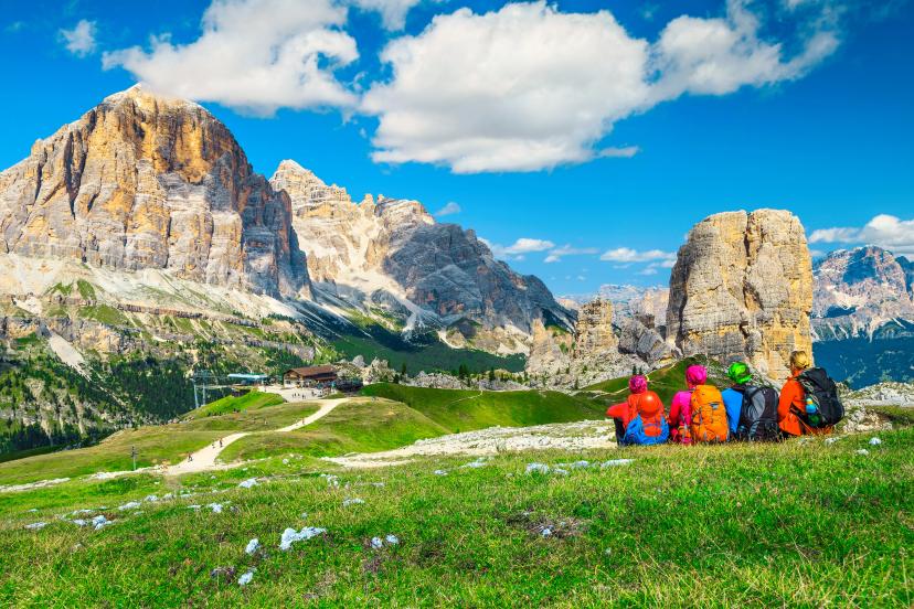
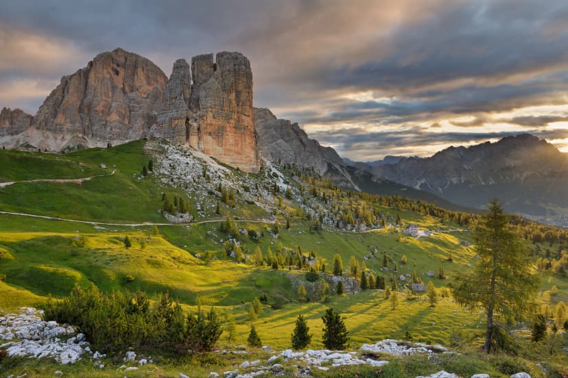
Top 3 Three-Day Hiking Routes
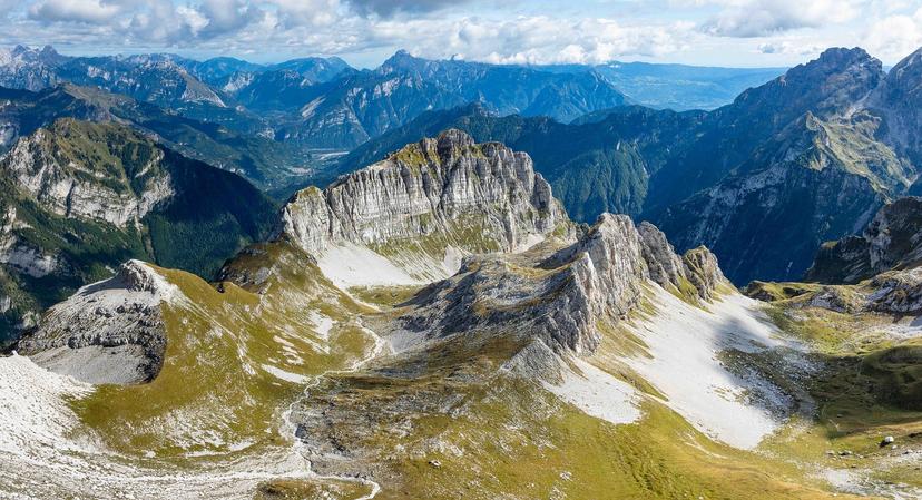
Route 1: Pale di San Martino Highlights
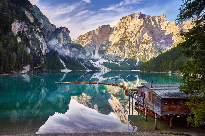
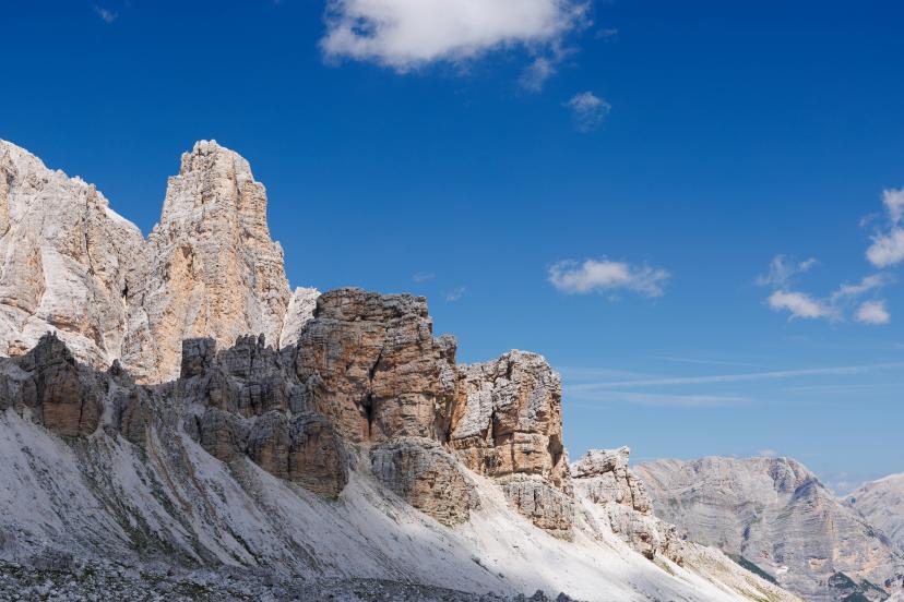
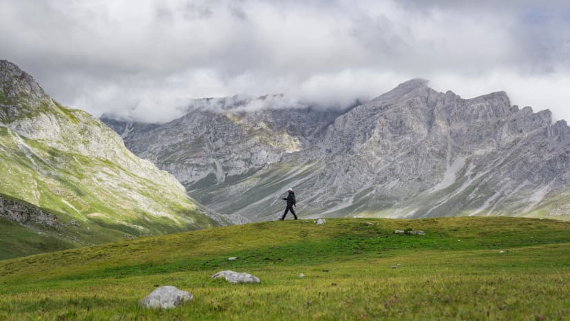
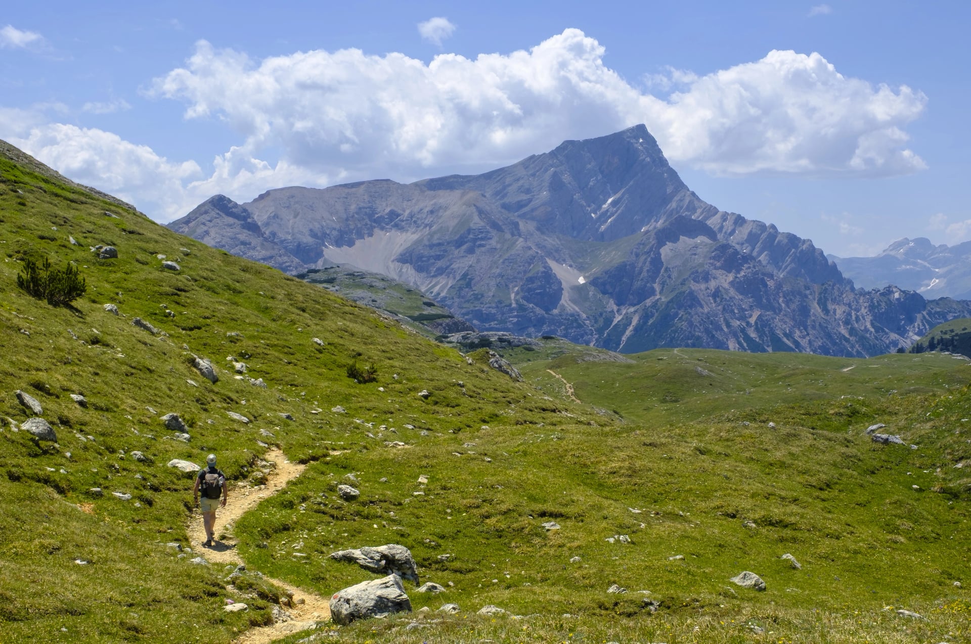
The Pale di San Martino route delivers some of the most dramatic and otherworldly landscapes in the Dolomites. This 3-day hike centers on the Altopiano delle Pale — a vast, lunar-like limestone plateau that feels more like walking on the moon than hiking in the Alps.
Overview
This route combines high-altitude plateau hiking with classic Dolomite peaks, WWI history, and alpine lakes. You'll traverse the iconic Rosetta plateau, climb to panoramic ridges with 360-degree views, and explore the serene Colbricon Lakes before completing a loop through Monte Castellaz's rolling meadows.
Region: Pale di San Martino (southern Dolomites)
Difficulty: Moderate to demanding
Base Town: San Martino di Castrozza
Best For: Hikers seeking dramatic, photogenic landscapes with historical interest.
Map:
Key Highlights
Daily Breakdown
Day 1: San Martino Plateau & Cima Rosetta
A steady ascent from San Martino takes you through forests onto the vast Altopiano delle Pale, a striking high-altitude karst plateau. Continue to Cima Rosetta for wide alpine views before descending by gondola back to the valley.
Day 2: Monte Cavallazza Loop & Colbricon Lakes
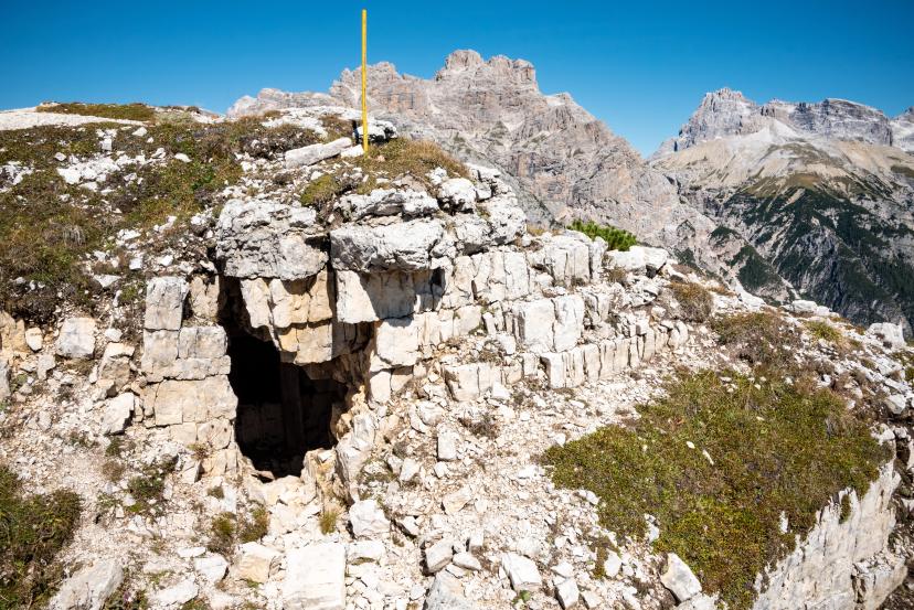
From Passo Rolle, the trail climbs to Monte Cavallazza, passing World War I trenches and sweeping views of Marmolada, Latemar, and the Pale group. A gentle descent leads to the peaceful Colbricon Lakes before returning by bus.
Day 3: Monte Castellaz Loop
A scenic loop from Passo Rolle crosses open meadows toward Monte Castellaz, home to the Cristo Pensante statue overlooking the Pale range. The descent passes Baita Segantini, offering classic Dolomite panoramas to close the trip.
Experience this route:
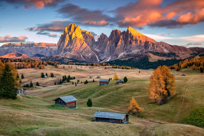
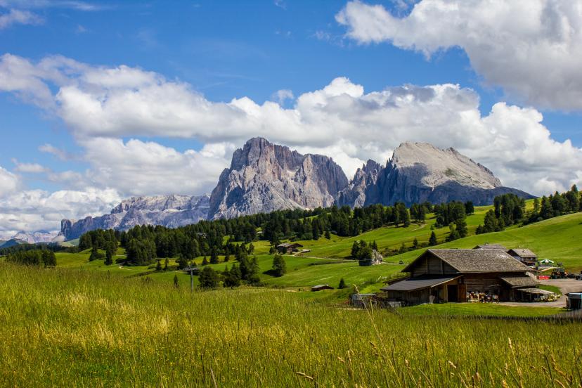
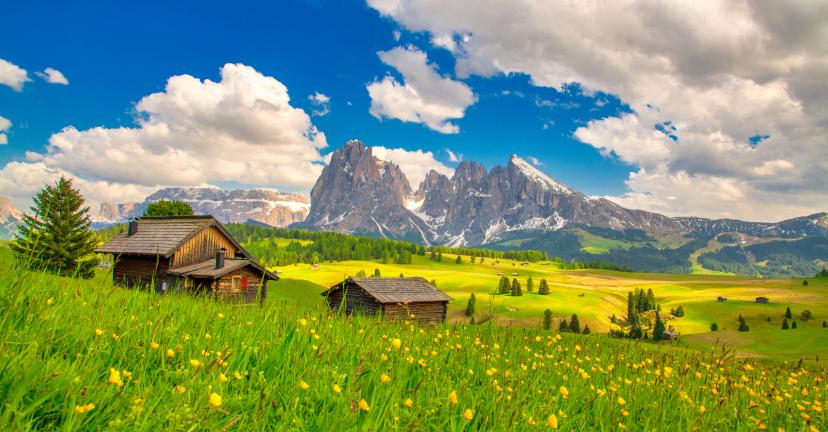
Route 2: Seiser Alm Highlights
The Seiser Alm (Alpe di Siusi) route offers a gentler, more pastoral introduction to the Dolomites, making it the most accessible of the three top routes. Set on Europe's largest high-altitude alpine meadow, this 3-day hike combines sweeping grasslands, traditional wooden lodges, and jaw-dropping views of the Langkofel massif.
Overview
This route is less about technical climbing and more about soaking in the beauty of the Dolomites at a relaxed pace. You'll cross rolling pastures, explore traditional mountain villages, and enjoy the warmth and hospitality of Dolomite rifugios — all while surrounded by some of the region's most iconic peaks.
Region: Val Gardena (northern Dolomites)
Difficulty: Moderate
Base Town: Ortisei
Best For: Hikers who want stunning Dolomite scenery without intense technical challenges.
Map:
Key Highlights
Daily Breakdown
Day 1: Ortisei → Kastelruth → Compatsch
Begin in Ortisei and transfer to Kastelruth before tackling the steep ascent onto the Seiser Alm plateau. Traverse wide meadows and the Marinzen pastures with views of Langkofel before reaching the small alpine village of Compatsch.
Day 2: Compatsch → Saltria
A gentler day leads across the open plateau toward the Roßzahne ridge, with rolling meadows and wide panoramas throughout. The trail passes Rifugio Molignon before descending to Saltria, where a quiet mountain hotel awaits.
Day 3: Saltria → Ortisei
Climb toward the Langkofel group on a panoramic ridge route that links several mountain huts, culminating at Rifugio Sasso Piatto for close-up Dolomite views. Complete a scenic loop back to Saltria and ascend to the Mont Sëuc cable car, returning to Ortisei.
Experience this route:
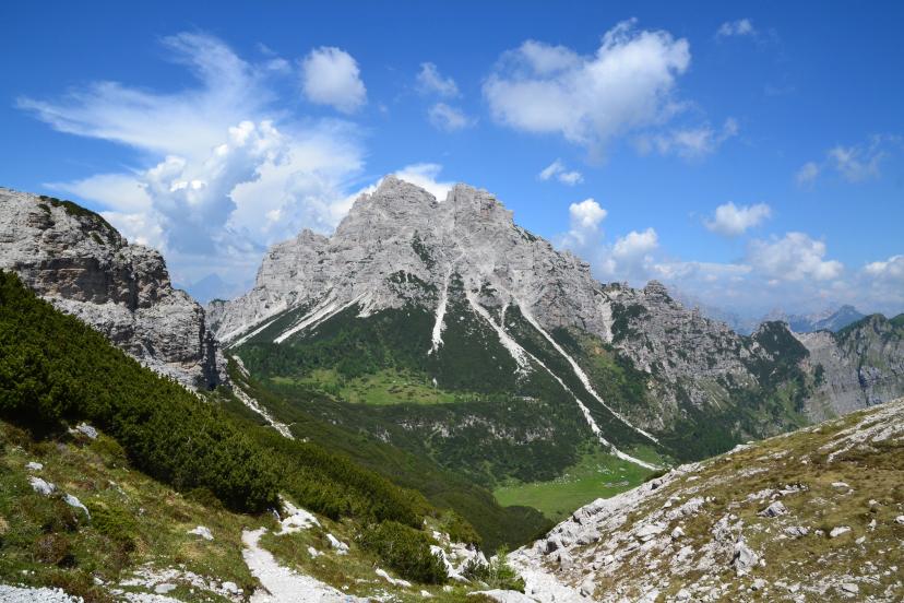
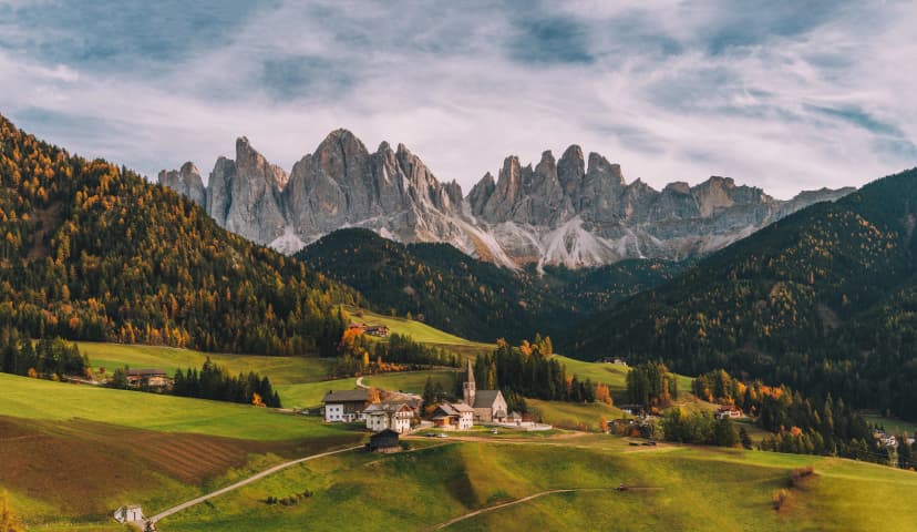
Route 3: Alta Via 1 Hidden Corners
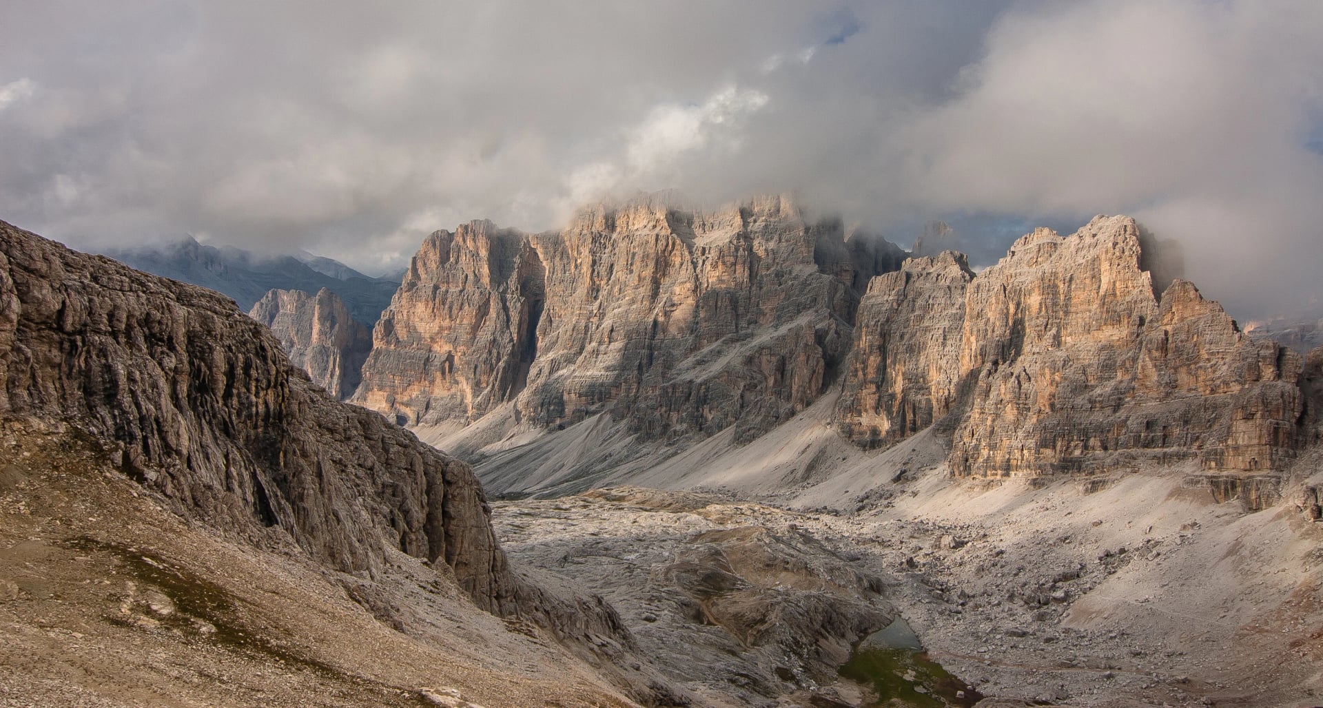
While most hikers flock to the famous central sections of Alta Via 1, this 3-day route explores the quieter, lesser-known corners of the trail — offering the same dramatic Dolomite landscapes with far fewer crowds.
Overview
This route takes you through serene, remote sections of Alta Via 1, where you'll traverse wild basins, cross high ridges, and stay in authentic rifugi far from the busy tourist trails. It's perfect for those who want the Alta Via 1 experience but prefer solitude, peace, and a more intimate connection with the mountains.
Region: Cortina area (central Dolomites)
Difficulty: Moderate
Base Town: Forno di Zoldo
Best For: Those comfortable with moderate terrain and seeking the Alta Via 1 experience without the crowds.
Map:
Key Highlights
Daily breakdown:
Day 1: Forno di Zoldo → Rifugio Sommariva al Pramperet
A gradual climb leads from Forno di Zoldo through forest and alpine pastures toward the broad basin of Pra’ de la Vedova. Towering Cima Prampér frames the final approach as the trail opens into spacious green meadows before reaching the welcoming mountain hut.
Day 2: Rifugio Sommariva al Pramperet → Refuge Furio Bianchet
The route crosses Cima de Zita, one of the trek’s few mildly challenging sections, requiring steady footing on exposed but non-technical terrain. A long descent follows through varied landscapes, passing Rifugio Pian de Fontana before continuing down to Refuge Furio Bianchet.
Day 3: Refuge Furio Bianchet → La Stanga
A gentle descent leads through quiet woodland and open meadows toward La Stanga in Val Cordevole. This stage avoids the steep via ferrata sections of the Schiara massif, offering a relaxed finish before onward travel to Belluno.
Experience this route:
Comparing the Top 3 Routes
Route | Total Distance | Total Elevation Gain | Difficulty | Best For | Key Scenery | Starting Point |
Pale di San Martino | ~35 km | ~2,200 m | Moderate to Demanding | Dramatic landscapes & history | Lunar plateau, WWI sites, alpine lakes | San Martino di Castrozza |
Seiser Alm | ~30 km | ~1,500 m | Moderate | Gentle terrain & stunning views | Alpine meadows, Langkofel massif | Ortisei |
Alta Via 1 Hidden Corners | ~28 km | ~1,800 m | Moderate | Quiet trails & solitude | Remote basins, serene ridges | Forno di Zoldo |
Honorary Mention: Alta Via 1 Highlights
While technically a 4-day route, Alta Via 1 Highlights deserves special recognition as one of the most iconic and rewarding hikes in the Dolomites. For those willing to push a bit harder or customize their itinerary, this route can be adapted to fit a 3-day schedule.
Overview
Starting from the iconic Lago di Braies (Pragser Wildsee), the route traverses some of the most breathtaking sections of Alta Via 1, passing through three different authentic rifugi and crossing high passes with panoramic views. It's challenging, rewarding, and quintessentially Dolomite.
Region: Cortina d'Ampezzo area (central Dolomites)
Difficulty: Moderate to demanding
Base Town: Cortina d'Ampezzo / Lago di Braies area
Best For: Suits strong, experienced hikers comfortable with longer daily stages and sustained elevation.
Key Highlights
Note: While this route is designed as 4 days, we can easily adapt it to fit a 3-day schedule — just let us know your preferences when booking.
Experience this route:
Alta Via 1: Full Route vs. 3-Day Highlights
Alta Via 1 is the Dolomites' most famous trail. Choosing between the full route and a condensed 3-day version depends on time, fitness, and experience level.
1. The Full Route (10–12 Days)
What it covers: ~120 km from Lago di Braies to Belluno, crossing multiple massifs with 7,000–8,000 m cumulative elevation gain.
Pros: Complete immersion, diverse scenery across varied terrain, gradual pacing, deep cultural experience, significant sense of accomplishment
Cons: Requires 12–14 days including travel, higher cost, cumulative physical demand, greater weather exposure, complex logistics
2. The 3-Day Highlights (3–4 Days)
What it covers: ~30–35 km of Alta Via 1's best sections—typically Lago di Braies to Cortina via Sennes, Lavarella, and Lagazuoi.
Pros: Time-efficient for long weekends, lower cost, most dramatic scenery concentrated, less intimidating for first-timers, easier to find good weather windows
Cons: Incomplete experience, faster pace with less time to settle in, limited rifugio immersion, can feel rushed
Which Should You Choose?
Full route: You have 12+ days, want complete immersion, enjoy multi-day endurance challenges, value the full journey
3-day highlights: Limited time, testing whether longer routes suit you, want lower cost and simpler planning, prefer focusing on iconic sections
Compromise: Do the highlights now, return for the full route later. Many hikers use shorter trips to build confidence before tackling longer traverses.
FAQs
Q: Do I need hiking experience for 3-day Dolomites routes?
A: Yes. Moderate fitness and basic mountain hiking experience are recommended. You should be comfortable hiking 5–7 hours per day on uneven terrain with elevation gain.Q: Are 3-day hikes suitable for families?
A: It depends on children's age and fitness. Seiser Alm works well for families with teenagers who are used to hiking. Younger children may struggle with the duration and elevation.Q: Do I need via ferrata equipment?
A: Not for most 3-day routes. Seiser Alm and Alta Via 1 Hidden Corners have no via ferrata sections. Pale di San Martino may include short cable-protected passages, but full ferrata gear isn't required.Q: Can I extend a 3-day route to 4 or 5 days?
A: Absolutely. We can customize any route to include extra days, rest days, or side trips. Just let us know your preferences.Q: What if the weather turns bad during my hike?
A: All rifugi provide shelter and real-time weather updates. If conditions become unsafe, you can wait at the hut, descend to the valley, or adjust your itinerary. We provide 24/7 support to help you make the best decision.Q: Do I need to speak Italian?
A: No. Most rifugi staff speak basic English, and our itineraries include enough detail to navigate independently. However, learning a few Italian phrases enhances the experience.
Common Mistakes (And How to Avoid Them)
Even experienced hikers make avoidable errors on shorter routes. Three-day hikes feel manageable, which can lead to complacency in planning, packing, or pacing.
Here are the most common mistakes and how to avoid them.
Overpacking Because "It's Only 3 Days"
Short trips tempt you to bring extras, but unnecessary weight makes every climb harder. Stick to three sets of base layers, one mid-layer, and versatile shells. Skip "just in case" items unless they serve a clear safety purpose.Starting Too Late in the Day
Summer afternoons bring thunderstorms, especially in July and August. Starting at 9–10 AM leaves you exposed during peak storm hours. Leave by 7:00–7:30 AM for quieter trails, better light, and time to relax at your destination.Skipping Acclimatization
Flying from sea level straight into 2,000+ meter terrain affects energy and breathing. Spend at least one night in a valley town before starting. Take a short walk on arrival day and pace yourself on day one.Not Checking Hut Opening Dates
Rifugi operate mid-June to late September, but dates vary. One closed hut can derail your itinerary. Always verify current operating schedules before booking, especially for early or late season trips.Wearing New Boots
Never start a multi-day hike in unbroken boots. Blisters on day one ruin entire trips. Wear your boots on 3–5 practice hikes before leaving, gradually increasing distance and elevation.Not Bringing Enough Cash
Many rifugi don't accept cards. Carry €150–200 per person for meals, drinks, and tips. Split bills between pockets in case you lose your wallet.Ignoring Weather Forecasts
Check forecasts each evening and ask rifugio staff for local insights. If storms threaten high passes, adjust your plan. Flexibility beats stubbornness. We mention the main weather resources in our guide.
Andiamo!
Three-day hikes offer the perfect introduction to the Dolomites — manageable timeframes, stunning scenery, and authentic alpine experiences without the extended commitment of longer routes. Each route delivers unforgettable landscapes, rewarding challenges, and memories that last far beyond three days.
Not sure which route is right for you? Browse our 3-day Dolomites hiking tours or get in touch — we're here to help you plan the perfect adventure based on your fitness, interests, and schedule.

About this author
Ajda is our travel advisor, raised in a village surrounded by mountain peaks. Hiking entered her life early on and remains her favorite way to reconnect with nature.