Alta Via Access Guide: Easiest Ways to Reach the Alta Via Trails
Your complete logistics guide to the Alta Via: where to fly, how to reach the trailheads, and the most reliable transport options for getting into the Dolomites.

Suzana
Published December 31, 2025
Edited January 16, 2026
13 min read
Quick links
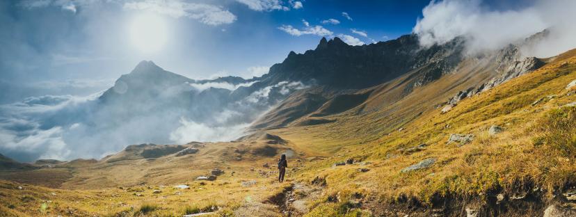
Getting to the Alta Via starting point can feel confusing at first. Italian mountain villages aren't exactly international transportation hubs, and between airports, trains, buses, and winding alpine roads, the logistics can seem overwhelming.
Here's the good news: with smart planning, reaching Alta Via trailheads is straightforward from any major European city. Venice, Innsbruck, and Verona airports all connect efficiently to the Dolomites via trains and buses, and the journey itself—through alpine valleys and past turquoise lakes—becomes part of the adventure.
This guide covers everything: which airports to fly into, how to navigate Italy's train system, which buses actually go to trailheads, and the fastest routes to each major Alta Via starting point. By the end, you'll know exactly which transport combination works best for your trip, complete with links to schedules, and insider tips.
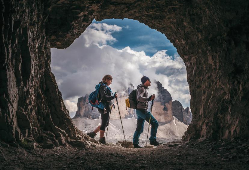
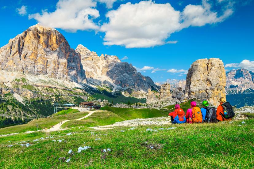
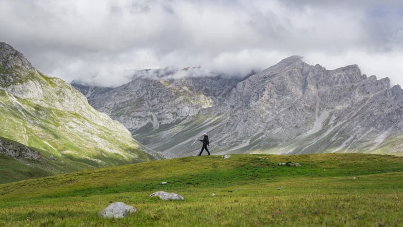
Understanding Alta Via Starting Points
Before booking any transport, you need to know where you're actually going. Each Alta Via has different start and end points, and some are easier to reach than others.
Alta Via 1:
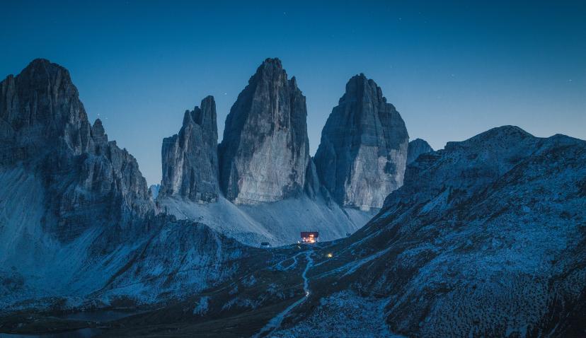
Northern start: Lago di Braies (Pragser Wildsee)
Southern end: Belluno
Most common access towns: Dobbiaco/Toblach (near northern start), Cortina d'Ampezzo (mid-route access)
What to do once you arrive? See our ultimate Alta Via 1 guide!
Alta Via 2:
Northern start: Brixen/Bressanone
Southern end: Feltre
Most common access towns: Brixen (excellent train connections), Corvara, Arabba
What next? Everything is in our Alta Via 2 guide.
Other Alta Vias (3-10): Each has its own starting point, but transport principles remain similar—fly to one of the three main airports, then combine trains and buses to reach your trailhead.
Key insight: Most international hikers fly into Venice, Innsbruck, or Verona, then use Italy's efficient train and bus network to reach mountain towns. Car rentals offer flexibility but aren't necessary—public transport works brilliantly if you know the routes.
Top 3 Closest Airports
1. Venice Marco Polo Airport (VCE) — Most Popular
Distance to Dolomites: 150-180 km (depending on destination)
Travel time to trailheads: 2.5-3.5 hours
Why choose it: Best international connections, most flight options from across Europe and beyond, competitive pricing
Best for: Alta Via 1 (northern start), Alta Via 2, and most southern approaches
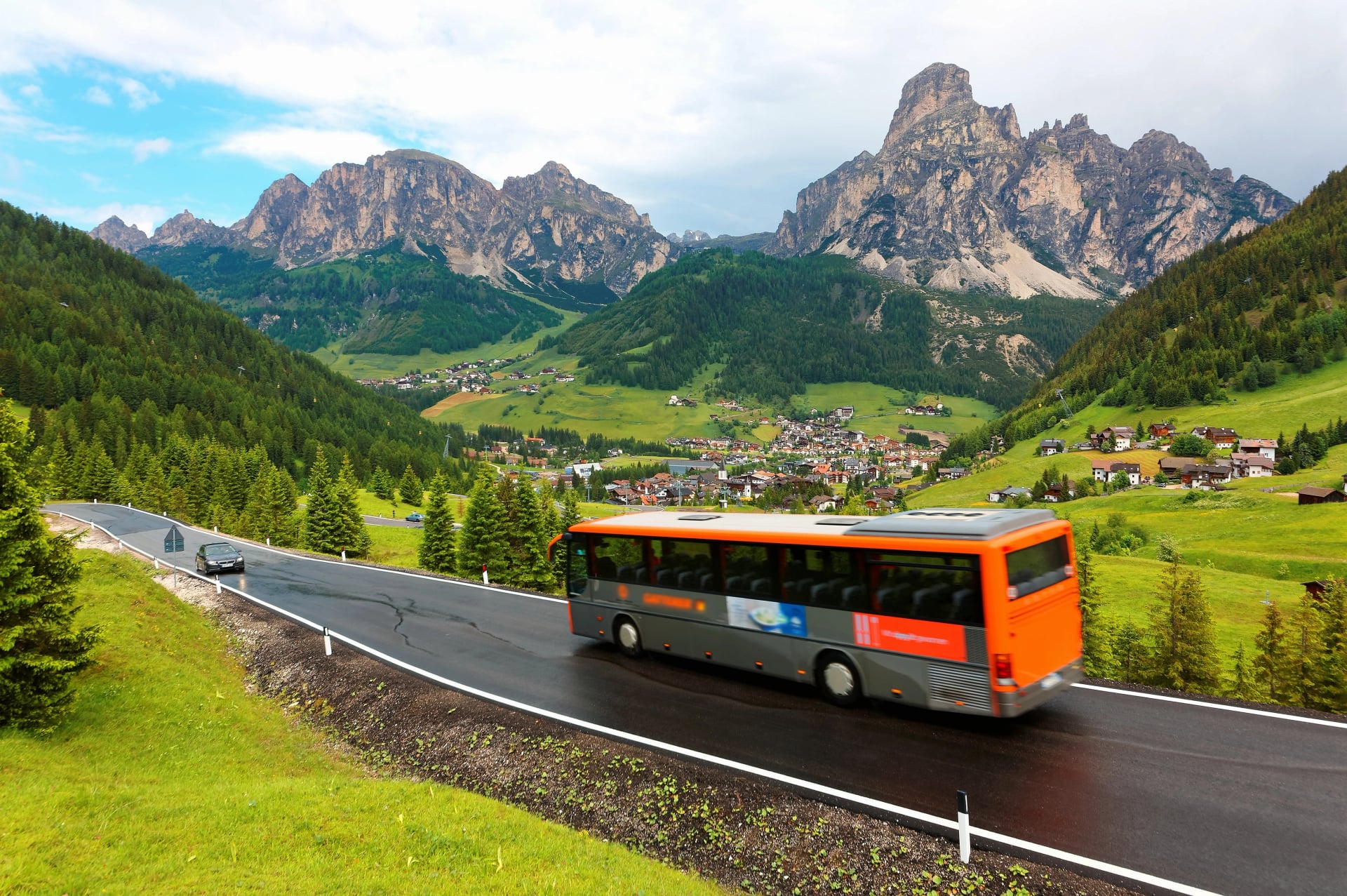
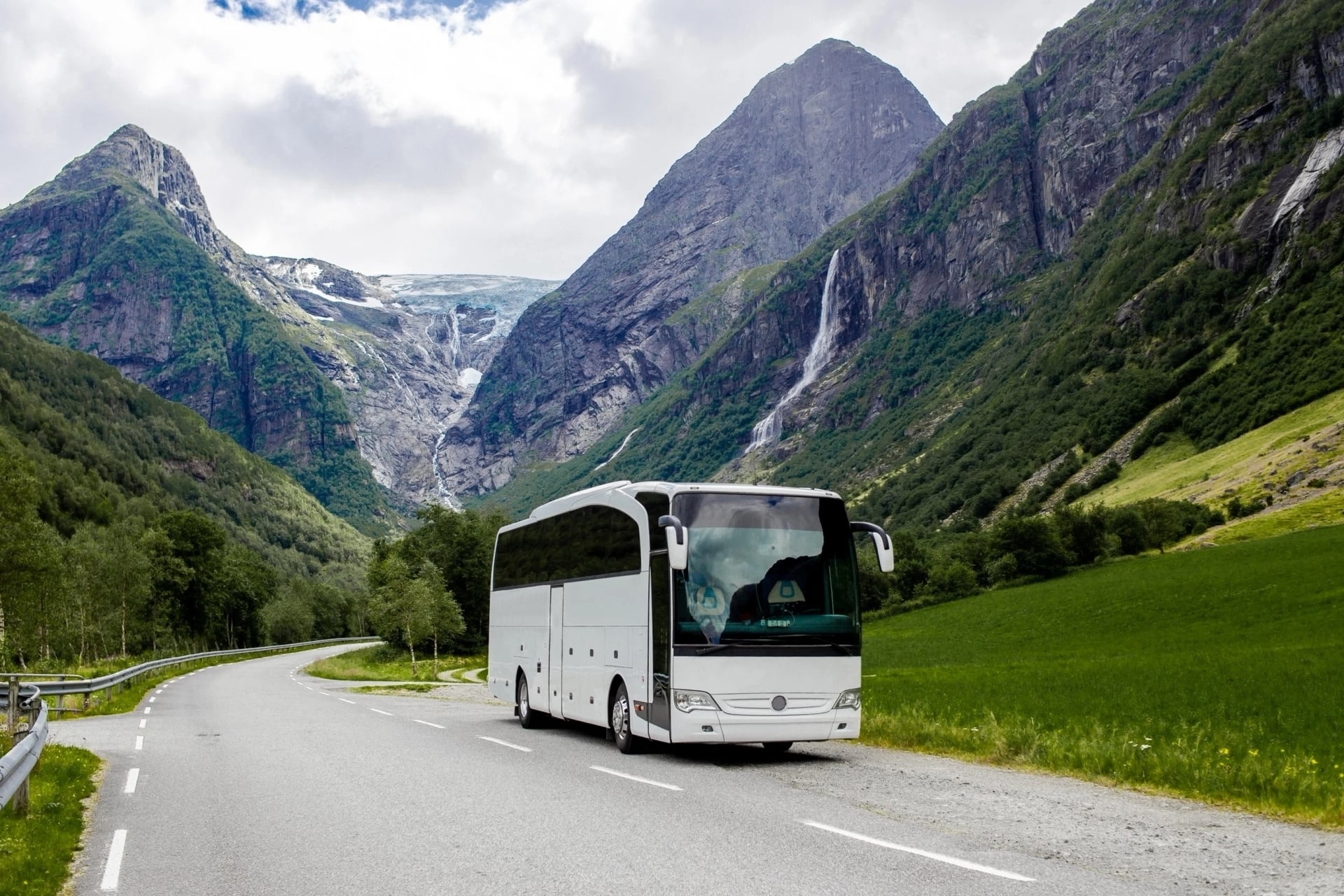
Venice is the gateway most international hikers use, and for good reason. The airport is well-connected, and direct bus services run straight to Cortina d'Ampezzo throughout the hiking season.
Direct Transport Options

Bus: Cortina Express — The easiest option
Direct service from Venice Airport → Cortina d'Ampezzo
Website: Cortina Express
Frequency: Multiple daily departures (June-September)
Duration: ~2.5 hours
Cost: ~€25-35 one way
Luggage included, reservations required in peak season
Train + Bus combo:
Venice → Calalzo di Cadore (train) → Cortina or Dobbiaco (local bus)
Train schedule: Trenitalia
Duration: 2.5 hours by train + 30-60 min by bus
Cost: ~€15-25 train + ~€5-10 bus
More connections but requires a transfer
Car rental:
Available at the airport; drive via A27 → SR51 through the Cadore Valley
Duration: 2-2.5 hours to Cortina area
Parking available in major towns (pre-booking recommended)
2. Innsbruck Airport (INN) — Nearest
Distance to Dolomites: 100-130 km
Travel time: 1.5-2.5 hours
Why choose it: Shortest distance to northern trailheads, spectacular alpine approach through Brenner Pass
Best for: Northern Alta Via 1 start at Lago di Braies, hikers coming from Germany or Austria
Innsbruck is the fastest way to reach the northern Dolomites, especially if you're already in Central Europe. The train connections through the Brenner Pass are frequent, scenic, and efficient.
Direct Transport Options

Train: Best option
Innsbruck → Brixen/Bressanone (for Alta Via 2): Direct trains via Brenner Pass
Austrian Railways: ÖBB
Italian Railways: Trenitalia
Duration: 1.5 hours
Frequency: Hourly connections
Innsbruck → Fortezza → Dobbiaco (for Alta Via 1): Two-train journey
Duration: 1.5 hours to Fortezza + 45 min to Dobbiaco
Well-coordinated connections
Bus: Limited direct options; train is strongly preferred
Car rental:
Drive via Brenner Pass (A13 Austria/A22 Italy)
Duration: 1.5-2 hours depending on destination
Tolls: Austrian motorway vignette required (~€12) + Italian tolls (~€15-20)
3. Verona Villafranca Airport (VRN) — Budget Option
Distance to Dolomites: 180-220 km
Travel time: 3-4 hours
Why choose it: Budget airlines (Ryanair, Wizz Air), southern access point for routes ending in Belluno/Feltre
Best for: Southern Alta Via approaches, budget-conscious travelers, those starting/ending in Verona
Verona works well if you're on a budget or planning to explore northern Italy before or after your hike. The train connections require more changes but are straightforward.
Direct Transport Options
Train:
Verona Porta Nuova → Belluno/Feltre (southern Alta Via end points)
Schedule: Trenitalia
Duration: 2.5-3 hours with one connection
Frequency: Several daily trains
Verona → Bolzano → onward connections (for northern access)
Duration: 2 hours to Bolzano + connections
Requires planning but very doable
Car rental:
Drive via A22 Brenner motorway north
Duration: 2.5-3.5 hours depending on final destination
Tolls: ~€12-18
Most flexible for southern approaches
Which Airport to Choose?
Airport | Distance | Travel Time | Best For | Flight Options |
Venice (VCE) | 150-180 km | 2.5-3.5 hrs | Most routes, international travelers | Excellent |
Innsbruck (INN) | 100-130 km | 1.5-2.5 hrs | Northern starts, Central Europe | Good |
Verona (VRN) | 180-220 km | 3-4 hrs | Budget flights, southern access | Budget airlines |
Other Regional Airports (Brief Mentions)
Bolzano Airport (BZO): Very small with limited international flights, but extremely close if you can get there
Treviso Airport (TSF): Budget alternative to Venice (Ryanair hub), slightly farther but similar bus/train connections
Munich Airport (MUC): Major international hub, 3.5-4 hours by car or train—good option for northern European connections
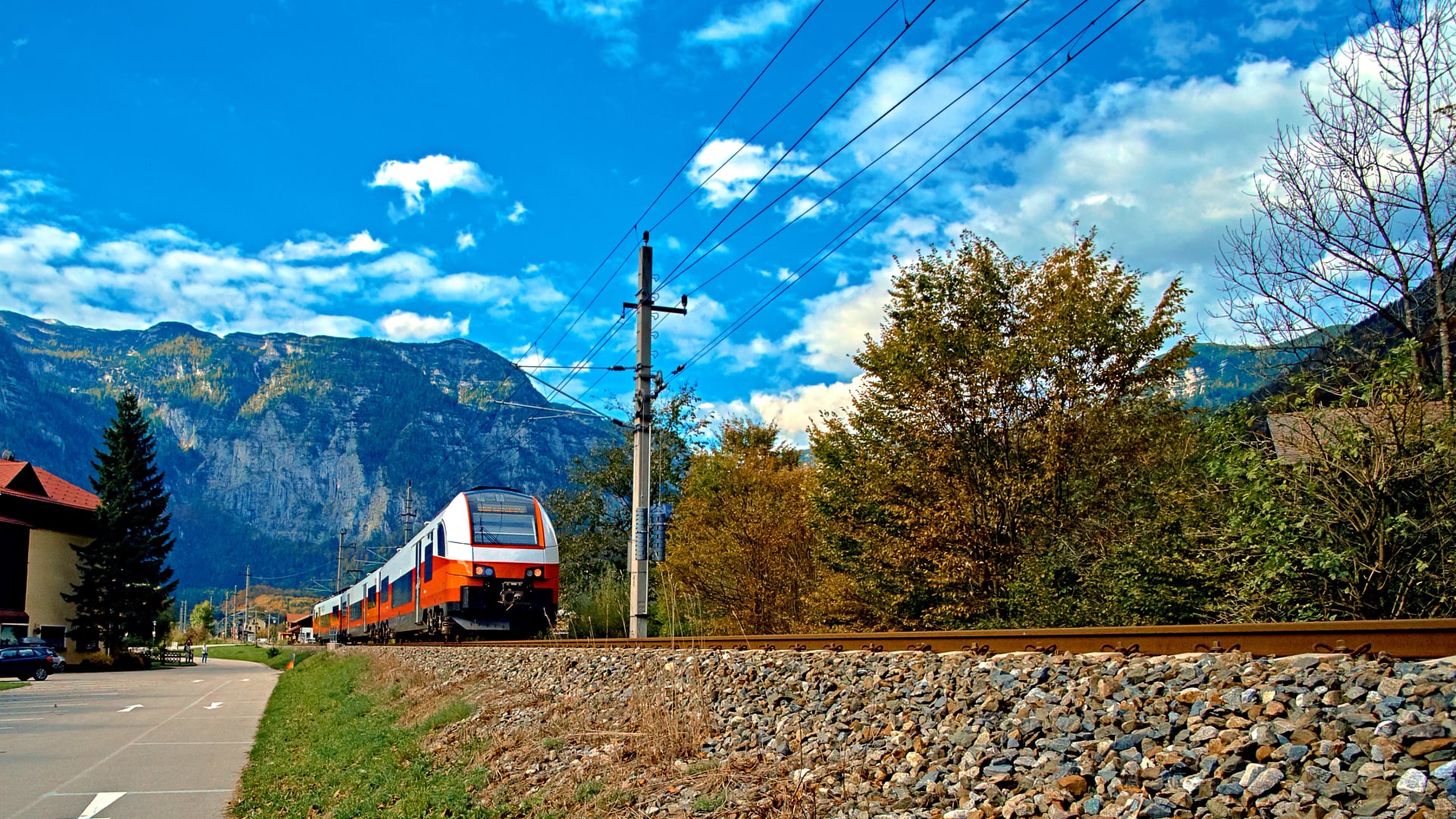
Getting to Alta Via by Train

Italy's train system is efficient, affordable, and remarkably scenic—but trains don't go directly to most Alta Via trailheads. Mountain villages are reached by bus from the nearest train station, which means you'll typically use a train + bus combination.
Here are the main routes:
To Northern Alta Via 1 (Lago di Braies)
The journey breaks into clear steps:
Any major city → Fortezza/Franzensfeste (main junction station in South Tyrol)
Fortezza → Dobbiaco/Toblach (regional train, ~45 minutes)
Dobbiaco → Lago di Braies (local bus #442, ~30 minutes)
Bus schedule: SAD Südtirol
Frequency: Hourly during summer season (June-September)
Cost: ~€5 for the bus segment
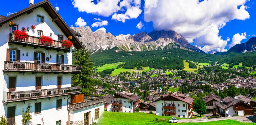
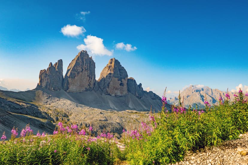
To Cortina d'Ampezzo (mid-route access)
Cortina is the Dolomites' most famous resort town and a common access point for Alta Via 1.
Venice or Verona → Calalzo di Cadore (regional train, end of the line)
Schedule: Trenitalia
Duration: 2.5 hours from Venice
Scenic route through Cadore Valley
Calalzo → Cortina d'Ampezzo (bus lines 30/31)
Schedule: Dolomiti Bus
Duration: 45 minutes
Frequency: Every 1-2 hours in season

To Brixen/Bressanone (Alta Via 2 northern start)
This is the easiest trailhead to reach by train—Brixen is a major South Tyrol town with excellent connections.
Any major Italian city → Bolzano/Bozen (frequent direct trains)
Bolzano → Brixen/Bressanone (regional train, 30-40 minutes)
Frequency: Every 30 minutes throughout the day
Very well connected—no advance booking needed for regional segments
Pro Tips
Book long-distance trains 1-2 weeks ahead for better prices (though regional trains often can't be reserved far in advance)
Large hiking backpacks are allowed on trains at no extra charge
Check for strikes ("sciopero") during your travel dates—Italian transport workers occasionally strike with advance notice
Download the Trenitalia app for real-time updates and mobile tickets
Key Train Booking Sites
Trenitalia — Italian national railways
ÖBB — Austrian railways (for routes through Innsbruck and Brenner Pass)
Trainline — Multi-country booking platform (easier interface for international travelers)

Getting to Alta Via by Bus
Buses are often more direct than trains for reaching actual trailheads—they go where trains can't. Here are the key operators and routes you need to know:
1. Cortina Express — Direct from Venice Airport
Route: Venice Marco Polo Airport → Cortina d'Ampezzo (direct)
Website: Cortina Express
Season: June-September (peak summer season)
Duration: ~2.5 hours
Cost: €25-35 one way
Luggage: Included (hiking backpacks no problem)
This is the easiest single-ticket option from Venice Airport to the heart of the Dolomites. Book ahead in July-August as buses fill up.
2. Dolomiti Bus — Regional Dolomites Coverage
Coverage area: Belluno province, Cortina, Valle di Cadore, Agordo
Website: Dolomiti Bus
Key routes: Connects train stations (like Calalzo) to mountain towns
Frequency: Varies by route; more frequent in summer
Payment: Cash onboard or prepaid tickets at tobacco shops ("tabacchi")
Dolomiti Bus fills the gaps between train stations and villages. Essential for reaching places like Cortina from Calalzo, or moving between valleys.
3. SAD Südtirol — South Tyrol (Northern Dolomites)
Coverage area: Northern Dolomites—Bolzano, Brixen, Val Gardena, Val Badia, Lago di Braies
Website: SAD
Mobile tickets: Available via the mobile app
Timetables: Seasonal—always check current summer schedules before your trip
Key routes for Alta Via hikers:
Line 442: Dobbiaco → Lago di Braies (Alta Via 1 start)—this is the crucial connection
Multiple lines throughout Val Gardena, Val Badia, and Pustertal Valley
Extensive network makes South Tyrol very accessible
4. FlixBus — Long-Distance International
Coverage: International connections to Bolzano, Trento, Verona from across Europe
Website: FlixBus
Useful for: Budget long-distance travel from other European cities (Munich, Vienna, Milan, etc.)
Then connect to: Local buses or trains to reach Dolomites villages
FlixBus won't get you directly to Alta Via trailheads, but it's an affordable way to reach northern Italian hubs if you're already in Europe.
Pro Tips
Download timetables and tickets as PDFs before your trip—mountain areas have spotty cell service and you don't want to be stranded without info
Buy bus tickets in advance when possible—some popular routes sell out in peak season (especially Cortina Express)
Have small bills and coins ready for drivers who sell tickets onboard
Check seasonal schedules—many mountain bus routes run reduced service (or not at all) outside June-September
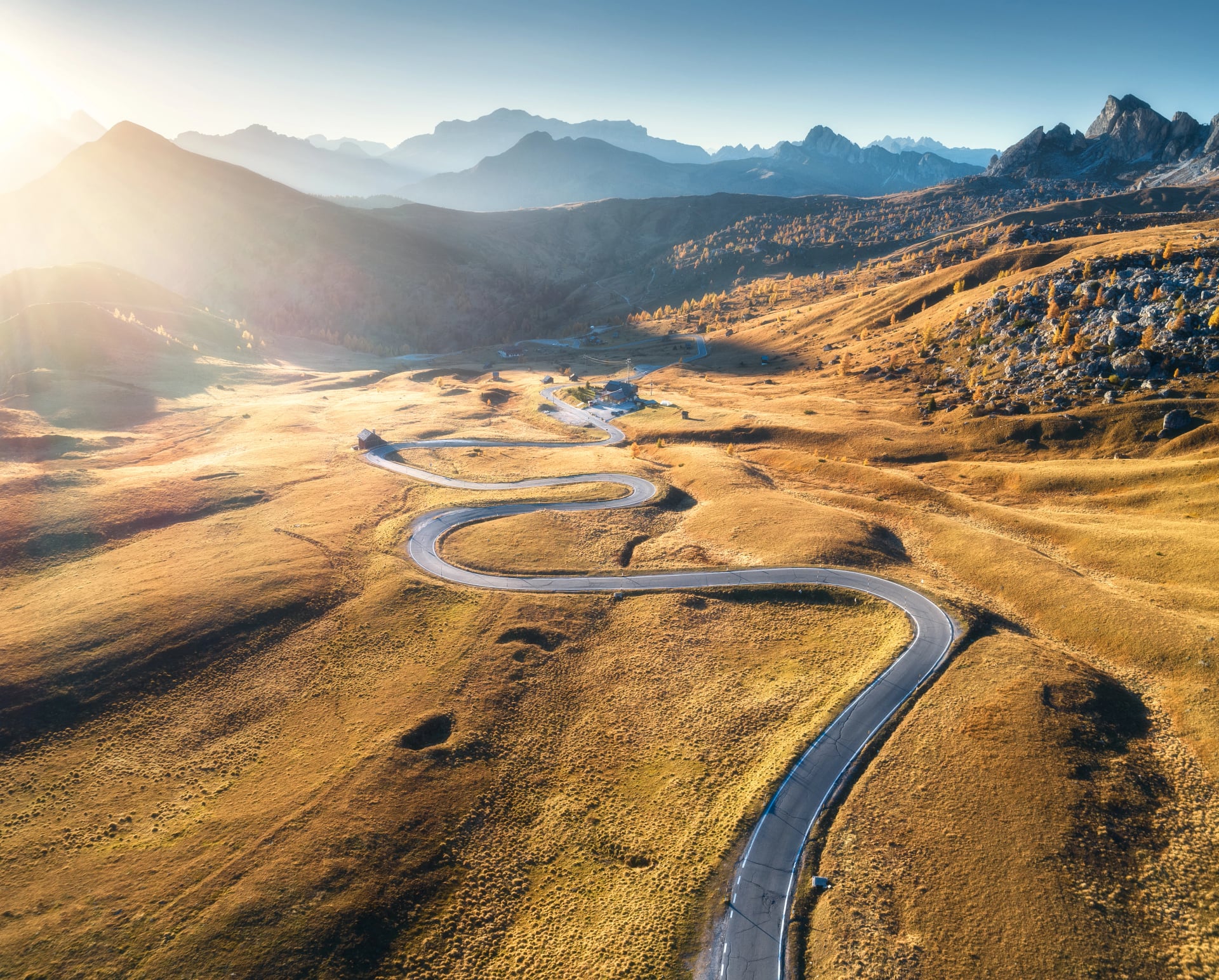
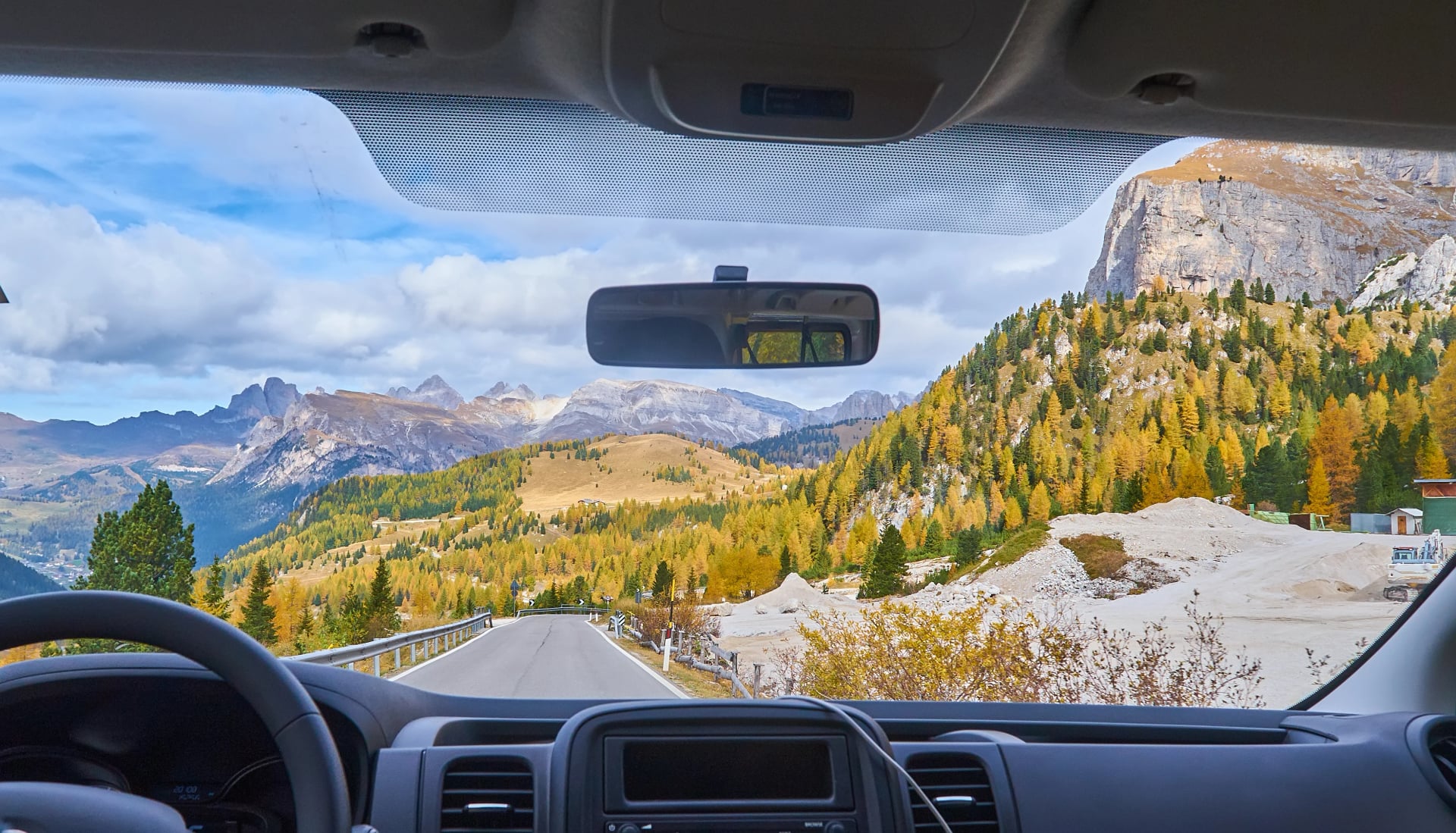
Driving to the Alta Via by Car
When a Car Makes Sense
Renting a car offers maximum flexibility but isn't necessary for most Alta Via hikers. Here's an honest look at when it makes sense—and when it doesn't.
Pros of Renting a Car
Direct access to remote trailheads (no waiting for buses)
Complete flexibility with timing and routes
Easier if traveling with lots of luggage or gear
Ability to stop for photos, supplies, or spontaneous detours
Better for pre- or post-hike exploration of the region
Cons of Renting a Car
Parking fees in mountain towns (€10-20/day adds up fast)
Expensive one-way drop-off fees if starting and ending in different locations
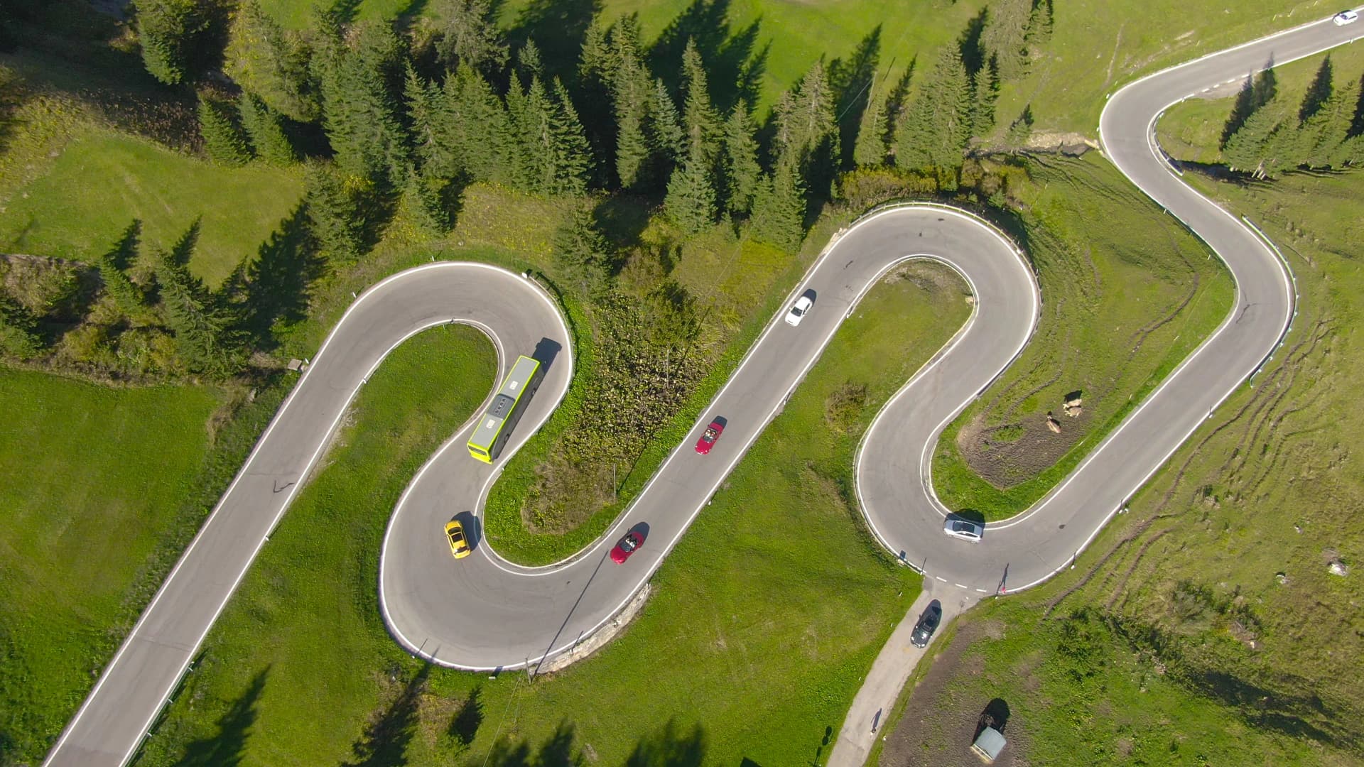
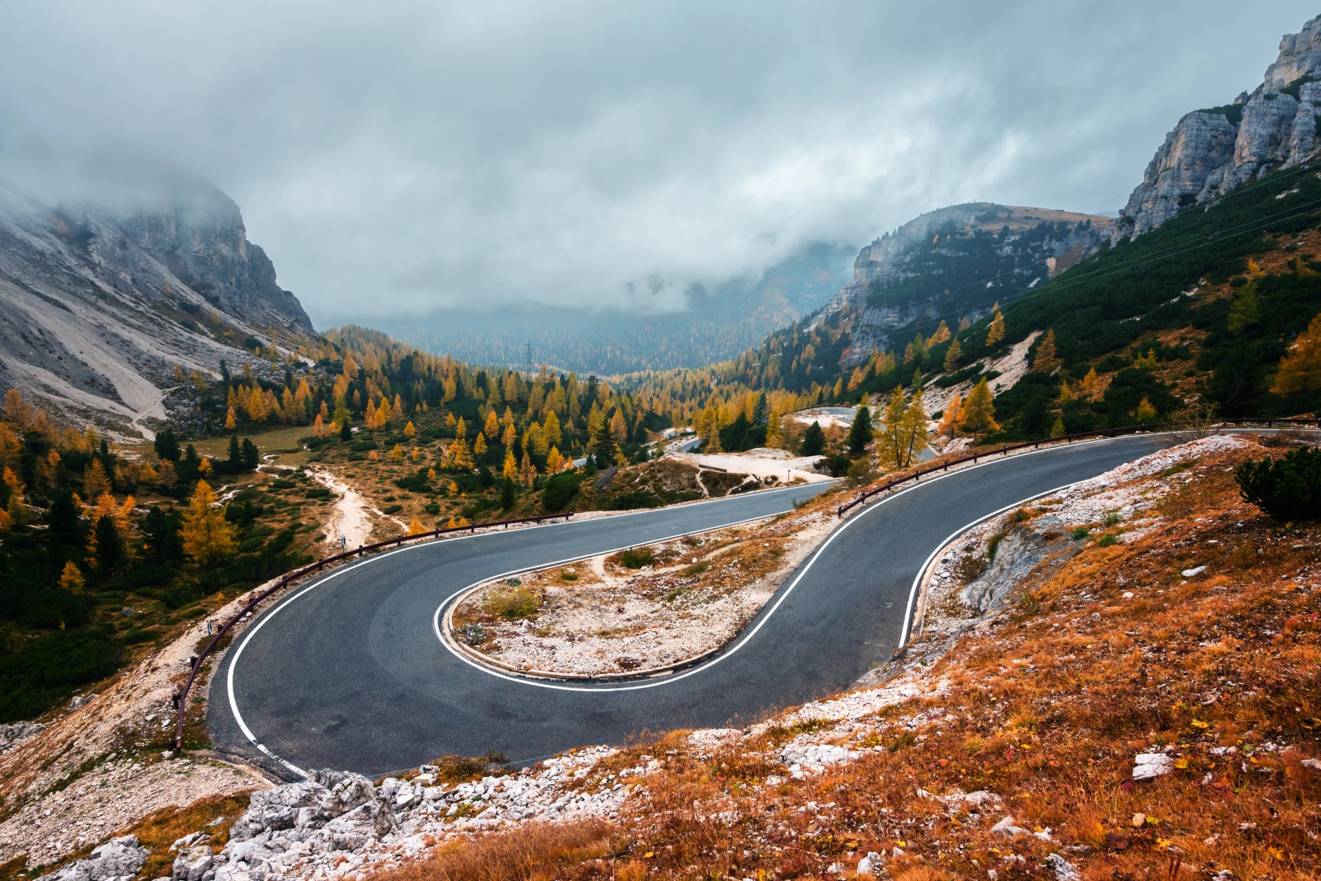
Mountain driving requires confidence—narrow roads, hairpin turns, steep grades
Car sits unused while you're hiking for days
Tolls on Italian motorways
Need to arrange parking security for multi-day periods
Bottom line: Cars work best for groups of 3-4 sharing costs, or if you're combining the Alta Via with broader Dolomites exploration. Solo hikers and couples usually find public transport easier and cheaper.
Best Car Rental Options
All three major airports have rental car desks:
Book in advance: Summer rates in the Dolomites increase significantly
Insurance: Check if your credit card covers CDW (collision damage waiver)—otherwise, rental insurance adds €15-25/day
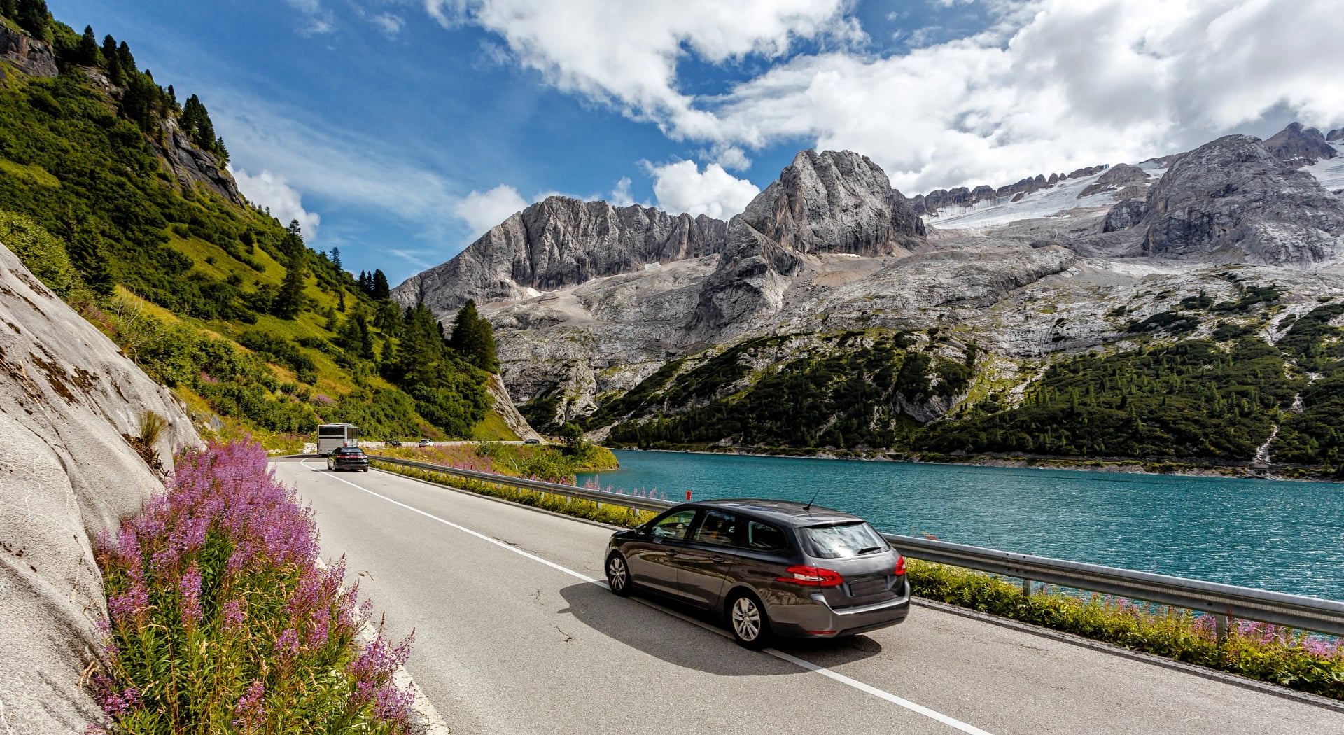
Driving Routes from Airports

From Venice (VCE) → Northern Dolomites (Cortina/Dobbiaco):
Route: A27 north → SR51 via Pieve di Cadore
Duration: 2-2.5 hours to Cortina area
Tolls: ~€8-12
Scenic highlights: Passes through Cadore Valley with views of alpine peaks and Lago di Centro Cadore
From Innsbruck (INN) → Lago di Braies:
Route: A13 Brenner Pass → A22 into Italy → exit Brixen → SS49 to Dobbiaco → local road to Braies
Duration: 1.5-2 hours
Tolls: Austrian motorway vignette required (€10 for 10 days) + Italian A22 tolls (€6-10)
Note: Brenner Pass is spectacular but very busy in summer; expect traffic on weekends
From Verona (VRN) → Brixen/Bolzano:
Route: A22 Brenner motorway north
Duration: 2-2.5 hours
Tolls: ~€12-18 depending on exit
Parking Information at Trailheads:
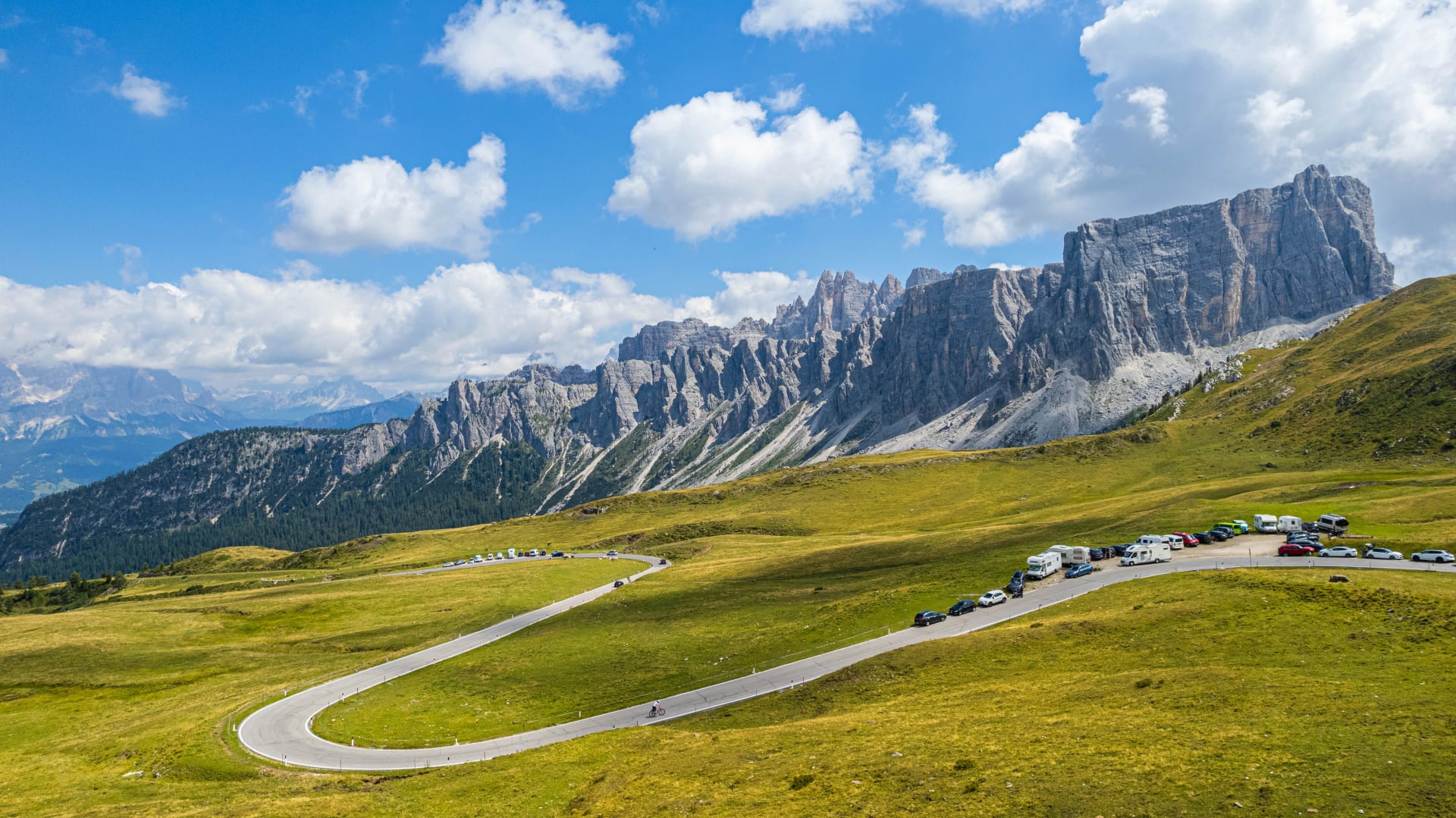
Lago di Braies: Very limited parking, ~€15-20/day, must be pre-booked in peak season (July-August). Without a reservation, you may be turned away. Reserve at Lago di Braies Parking
Cortina d'Ampezzo: Several public parking lots near town center, ~€12-18/day. More availability than Braies but still busy in summer.
Brixen/Bressanone: Town has parking garages, €10-15/day. Relatively easy to find spots.
Belluno/Feltre (southern end points): Street parking often free in residential outskirts; paid lots in town centers €8-12/day.
Security tip: Never leave valuables visible in parked cars—break-ins at trailhead parking areas do happen.
3 Ways to Get to Alta Via
Let's get specific. Here are the three fastest, most reliable ways to reach Lago di Braies—the northern starting point of Alta Via 1—from major airports.
1. Venice Airport → Lago di Braies (Most Popular)
Total time: 3-3.5 hours
Total cost (approx.): €30-40
Difficulty: Easy—mostly direct connections
Step-by-step:
Land at Venice Marco Polo Airport (VCE)
Bus: Venice Airport → Cortina d'Ampezzo (Cortina Express)
Duration: 2.5 hours
Book online: Cortina Express
Cost: €25-35
Departures: Multiple daily in summer
Bus: Cortina → Dobbiaco (Dolomiti Bus)
Duration: 30 minutes
Schedule: Dolomiti Bus
Cost: €5-8
Check timetable for connections
Bus: Dobbiaco → Lago di Braies (SAD Line 442)
Duration: 25 minutes
Schedule: SAD
Cost: ~€5
Runs hourly June-September
Best for: International travelers, most comprehensive flight options, straightforward routing
2. Innsbruck Airport → Lago di Braies (Fastest)
Total time: 2-2.5 hours
Total cost (approx.): €20-30
Difficulty: Easy—well-connected trains
Step-by-step:
Land at Innsbruck Airport (INN)
Train: Innsbruck → Fortezza/Franzensfeste (ÖBB/Trenitalia)
Duration: 1.5 hours
Book: OBB
Cost: €15-20
Frequency: Hourly
Train: Fortezza → Dobbiaco
Duration: 45 minutes
Regional train, well-coordinated connections
Cost: €5-8
Bus: Dobbiaco → Lago di Braies (SAD Line 442)
Duration: 25 minutes
Same as Route 1 above
Best for: Travelers coming from Germany, Austria, or Central Europe; shortest overall journey time
3. Car Rental from Venice (Most Flexible)
Total time: 2.5 hours direct
Total cost (approx.): €50-80 (rental + fuel + tolls)
Difficulty: Moderate—requires confident driving on mountain roads
Step-by-step:
Rent car at Venice Marco Polo Airport
Book in advance for best rates
Expect €40-60/day for a compact car
Drive: Venice → A27 → SR51 → Dobbiaco → Lago di Braies
Duration: 2.5 hours
Route: Scenic drive through Cadore Valley
Tolls: ~€10
Fuel: ~€20-25
Park at Lago di Braies
Must pre-book parking in summer
Cost: €15-20/day
Without reservation, you may be turned away (parking lot fills early)
Best for: Groups of 3-4 people splitting costs, families, or those wanting to explore multiple valleys before/after the hike
Alta Via 2 Starting Point Access (Brixen)
The good news: Brixen/Bressanone is far easier to reach than Lago di Braies.
Shortest route:
Innsbruck or Verona → Bolzano → Brixen (all by train)
Total duration: 1.5-2.5 hours depending on origin
Brixen is a major South Tyrol town with frequent train service from both directions. Trains from Bolzano run every 30 minutes, and the town itself is charming—worth arriving a day early to explore.
Your Journey to the Mountains Starts Now
Planning your Alta Via trek? First, decide on one of our Alta Via tours here—each includes detailed transport instructions, pickup coordination, and local support at every step.
Need personalized help? Want us to handle all the booking and schedules? Contact us and we'll make getting to the trailhead effortless and your hike hasslefree.

About this author
Suzana is our travel advisor and a hiker who believes the best trails aren't just about the summits. She loves spotting alpine plants, watching wildlife, and the laughs, chats, and snack breaks that make every trail worth walking.