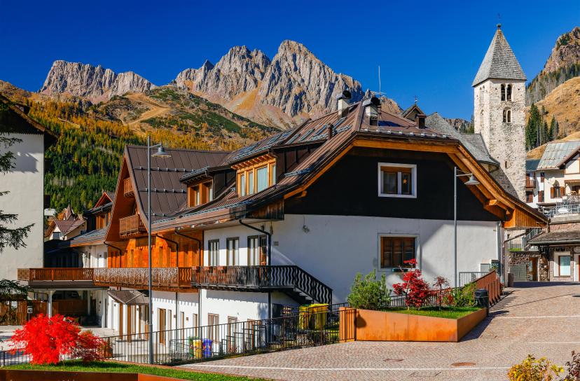
Dolomites Hiking Itineraries: 6 Best Routes from 3 Days to 2 Weeks
A practical guide to choosing the right Dolomites hiking itinerary, with proven routes for long weekends, week-long trips, and full multi-week mountain traverses.

Anja
Published April 3, 2026
Edited April 17, 2026
15 min read
Quick links
The hardest part of planning Dolomites hiking isn't deciding if you should go—it's choosing which route to tackle. With itineraries ranging from 3-day weekend escapes to 2-week epics, the options can feel overwhelming.
This guide cuts through the confusion. We've curated six proven Dolomites hiking itineraries across different timeframes and difficulty levels—three shorter trips (3-6 days) perfect for limited vacation time or first-time visitors, and three multi-week adventures (10-14 days) for the complete mountain experience.
How to Choose Your Dolomites Hiking Itinerary
Time available is the first filter:
3-5 days: Focused regional exploration or highlights of longer routes
6-7 days: Complete regional circuits or substantial sections of Alta Vias
10-14 days: Full Alta Via traverses, the classic Dolomites experience
Then consider these factors:
Experience level: Are you a first-time mountain hiker or an experienced trekker comfortable with technical terrain and via ferratas?
Accommodation preference: Do you prefer inn-to-inn comfort with guesthouses, or are you ready for authentic rifugio adventure with dormitory sleeping?
Terrain preference: Gentle plateau hiking with minimal elevation gain, or challenging high passes with sustained climbing?
Goals: Are you here for photography, peak-bagging, cultural immersion, physical challenge, or pure mountain experience?
For complete guidance on difficulty levels, fitness requirements, and what to expect from different terrain types, see our Ultimate Guide to Hiking in the Dolomites.
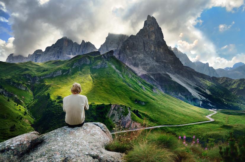
Best Short Dolomites Hiking Itineraries (3-6 Days)
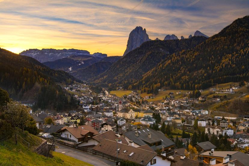
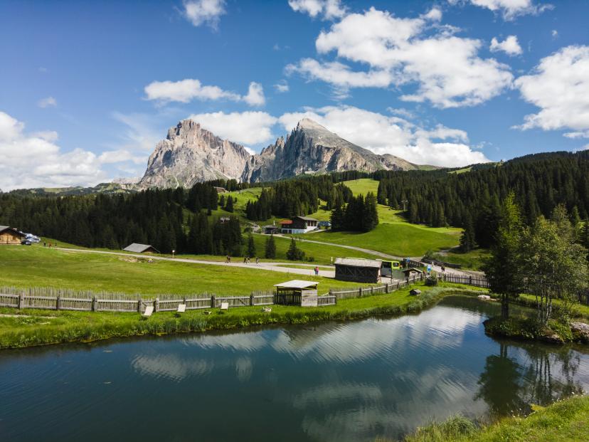
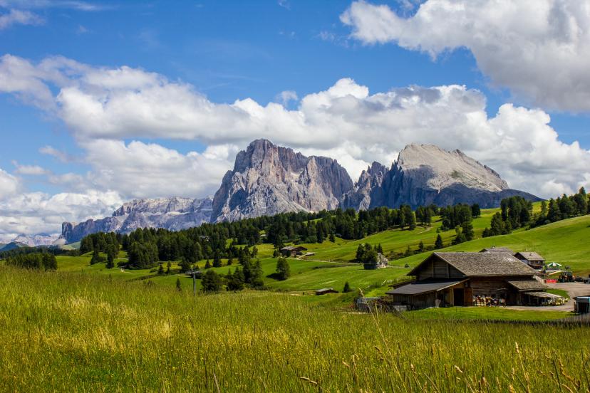
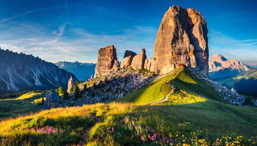
1. Seiser Alm Highlights (3 days)
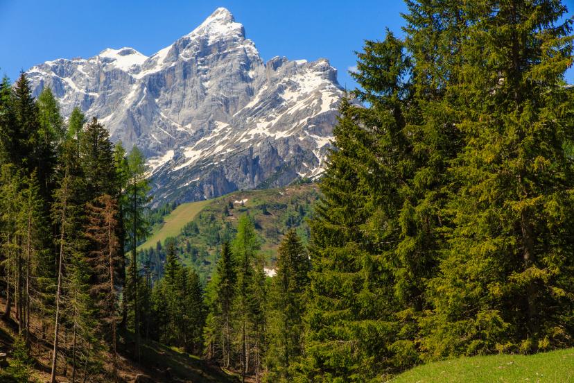
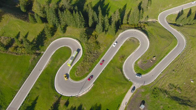
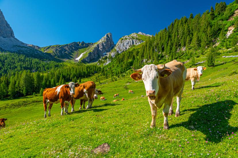
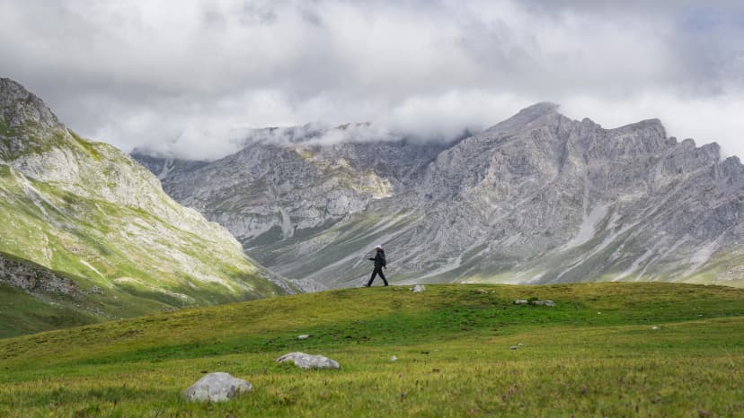
The quick alpine escape—explore Europe's largest high-alpine meadow in a long weekend. This itinerary focuses on the Seiser Alm plateau at 1,800m with gentle, rolling terrain and spectacular views of Sassolungo, Sella, and Sciliar massifs.
Why it works:
Minimal time commitment (perfect for long weekends or short breaks)
Easy to moderate terrain suitable for most fitness levels
Stunning 360-degree mountain panoramas without extreme difficulty
Cultural experience with authentic South Tyrolean hospitality and cuisine
What you'll experience:
Daily hikes of 3-5 hours across expansive wildflower meadows with the dramatic Dolomite peaks rising on all sides. You'll stay in traditional mountain inns with excellent food, comfortable beds, and that perfect balance of mountain adventure and valley comfort. The plateau's gentle terrain means you can focus on scenery, photography, and simply soaking in the alpine atmosphere without worrying about technical challenges.
Duration: 3 days
Technical: 2/5
Fitness: 2/5
Day-by-day itinerary:
Day 1: Ortisei – Kastelruth – Compatsch
Ascend from the charming village of Ortisei through Kastelruth to reach Compatsch at the heart of the Seiser Alm plateau, where sweeping meadows open before you.
Day 2: Compatsch – Saltria
Traverse the plateau's rolling terrain with the Sassolungo massif dominating the skyline, ending at the peaceful Saltria area surrounded by peaks.
Day 3: Saltria – Ortisei
Complete the loop with a scenic descent back to Ortisei, passing through alpine pastures and traditional South Tyrolean landscapes.
Top highlights on the route:
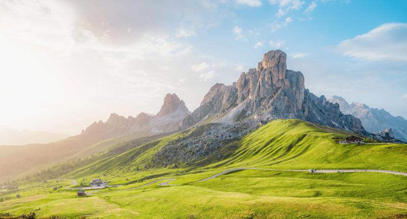
2. Pale di San Martino Traverse (6 days)
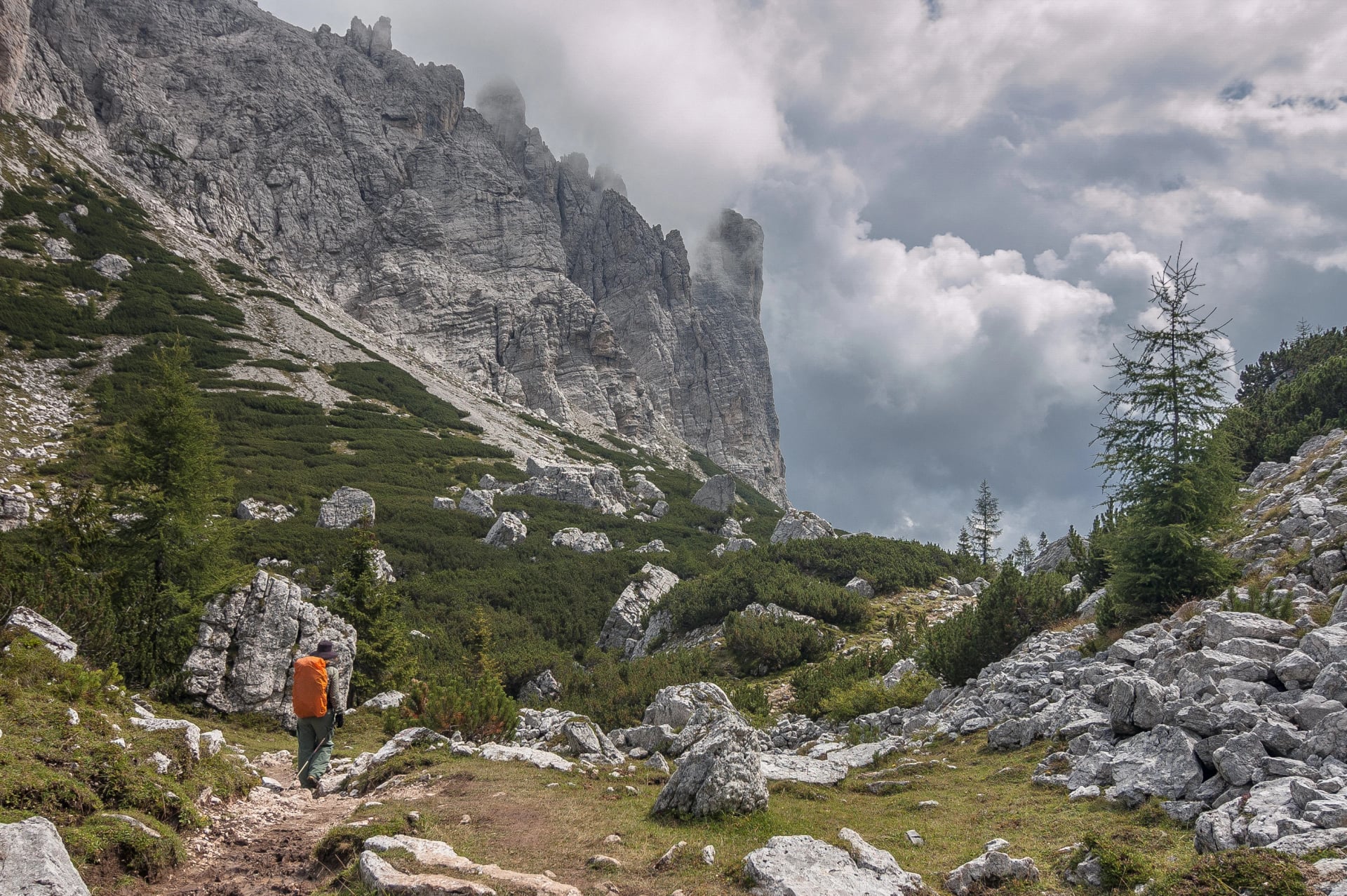
Remote mountain adventure in one of the Dolomites' most dramatic but least-visited areas. The Pale di San Martino features lunar-like limestone plateaus, towering vertical walls, and exceptional solitude compared to more famous regions like Cortina or Val Gardena.
Why it works:
Far fewer crowds than the eastern Dolomites
Dramatic, wild scenery that feels genuinely remote
Concentrated high-alpine experience in less than a week
Excellent value for serious mountain immersion
What you'll experience:
Six days of hiking beneath massive vertical walls and across unique karst plateaus where the rock formations create otherworldly landscapes. You'll stay in rifugios positioned in spectacular locations—some perched on cliff edges, others nestled in high cirques.
Daily stages range 5-7 hours with significant elevation changes (800-1,200m), demanding good fitness but rewarding you with some of the most striking scenery in the entire Dolomites range. The Pale's relative obscurity means you'll share trails with far fewer hikers than on Alta Via 1.
Duration: 6 days
Technical: 4/5
Fitness: 3/5

Day-by-day itinerary:
Day 1: San Martino di Castrozza – Rifugio Rosetta
Climb from the valley town to Rifugio Rosetta, positioned on the edge of the Pale's high plateau with stunning views across the massif.
Day 2: Rifugio Rosetta – Cima Fradusta – Rifugio Pradidali
Traverse beneath Cima Fradusta, one of the Pale's most imposing peaks, continuing to the remote Rifugio Pradidali surrounded by dramatic towers.
Day 3: Rifugio Pradidali – Rifugio Treviso
Cross high cols and exposed ridges to reach Rifugio Treviso, experiencing the full alpine character of the Pale di San Martino.
Day 4: Rifugio Treviso – Rifugio Rosetta
Return across the plateau via a different route, appreciating how the landscape transforms with changing light and perspectives.
Day 5: Rifugio Rosetta – Passo Rolle
Descend from the high plateau toward Passo Rolle, transitioning from stark limestone to forested slopes.
Day 6: Passo Rolle – San Martino di Castrozza
Complete the circuit with a final day back to San Martino, reflecting on one of the Dolomites' most underrated traverses.
Things to see:
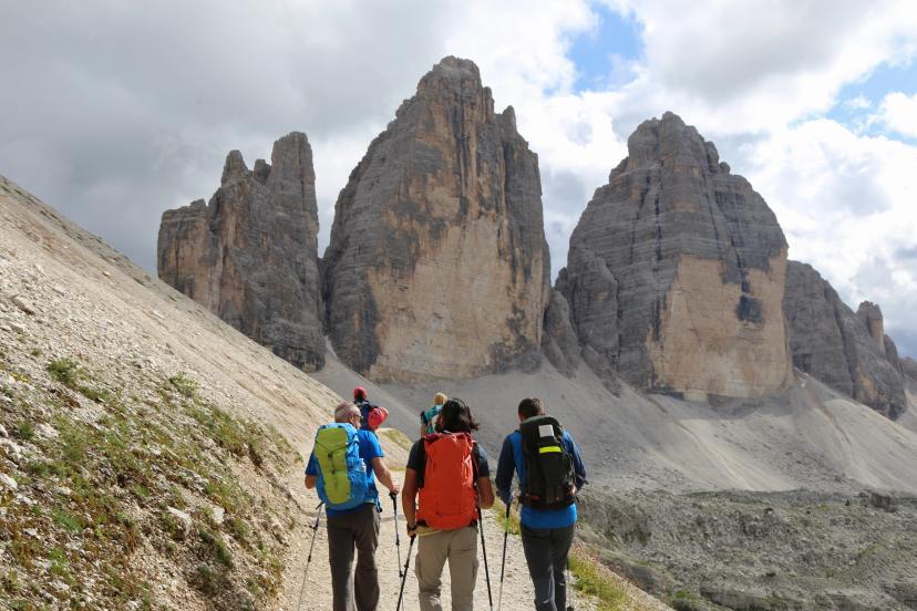
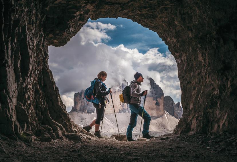
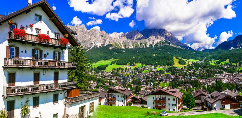
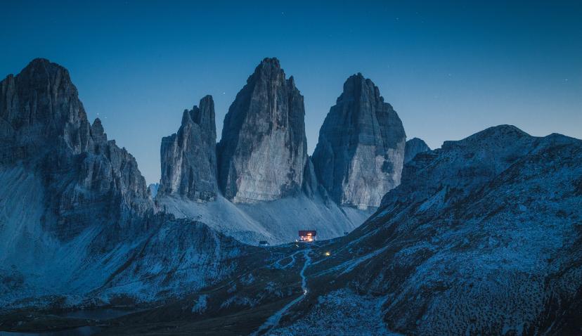
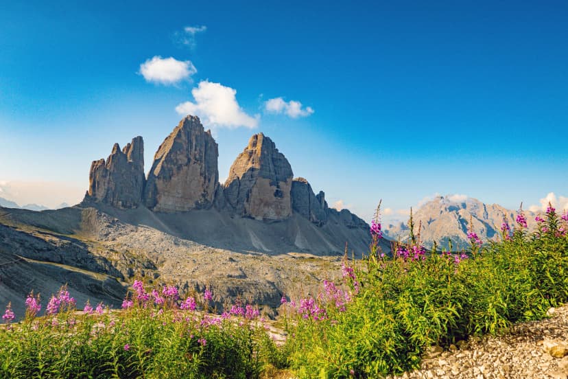
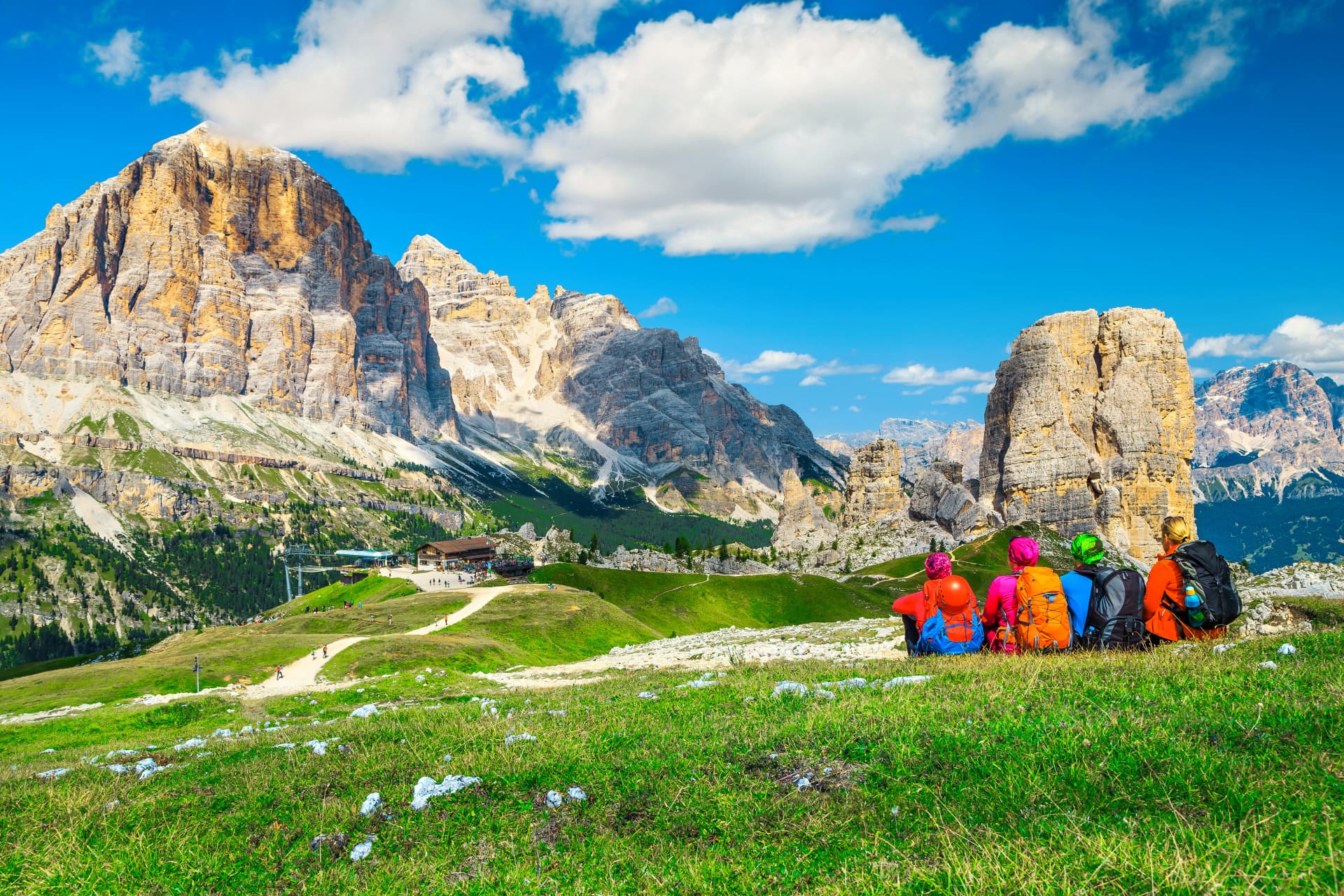
3. Alta Via 1 Highlights (4 days)
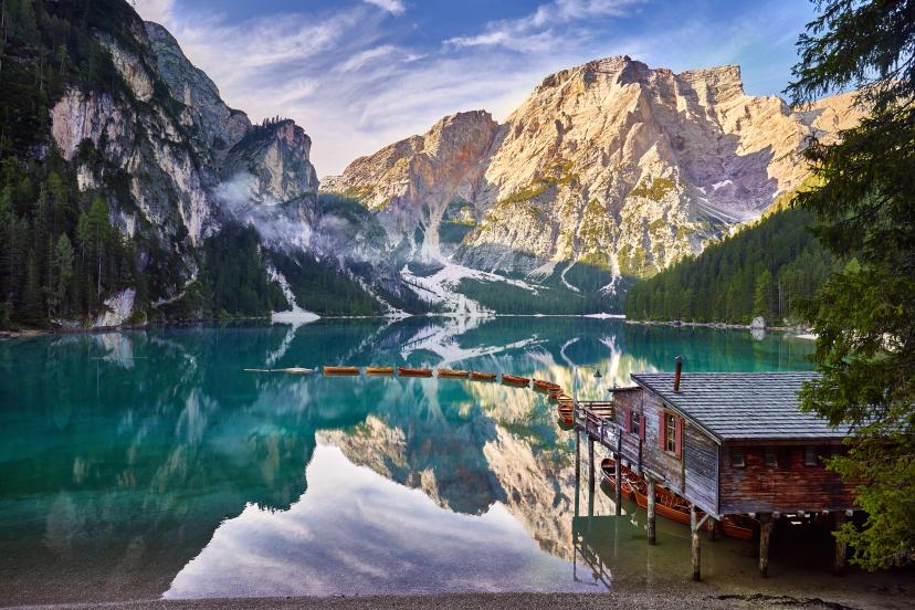
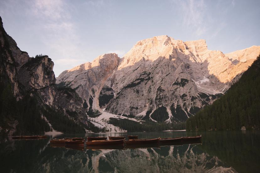
The best of the best—this itinerary condenses Alta Via 1's most iconic northern section (Lago di Braies to Cortina) into 4 hiking days. You'll experience classic rifugio-to-rifugio trekking, dramatic peaks, and the famous Dolomites scenery without committing to the full 10-day route.
Why it works:
Iconic scenery on every single stage
True hut-to-hut experience with authentic rifugio culture
Proven itinerary that consistently leaves hikers wanting more
Perfect "first Alta Via" introduction before tackling longer routes
What you'll experience:
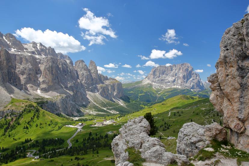
Four days of quintessential Dolomites hiking: you'll start at the turquoise jewel of Lago di Braies, cross the flower-filled Fanes plateau, climb to Lagazuoi's panoramic summit, and finish near Cortina with views of the iconic Cinque Torri.
Daily stages are 5-7 hours with manageable elevation gains (600-900m), making this accessible to fit hikers without requiring extreme endurance. Each night you'll stay in mountain rifugios, experiencing communal dinners, bunk-bed dormitories, and the social atmosphere that makes Alta Via trekking special.
Duration: 4 days
Technical: 3/5
Fitness: 3/5
Day-by-day itinerary:
Day 1: Lago di Braies – Rifugio Biella / Rifugio Sennes
Begin at the famous turquoise lake and ascend into the Fanes-Sennes-Braies Nature Park, reaching your first rifugio in an alpine basin.
Day 2: Rifugio Sennes – Berggasthaus Pederü / Rifugio Lavarella
Cross the vast Fanes plateau with its unique karst formations and wildflower meadows, descending to the comfortable Berggasthaus Pederü.
Day 3: Berggasthaus Pederü – Rifugio Lagazuoi
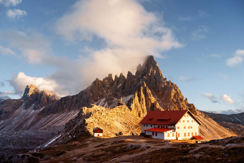
The iconic climb to Rifugio Lagazuoi at 2,752m—one of the highest and most spectacularly positioned rifugios in the Dolomites, offering 360-degree summit views.
Day 4: Rifugio Lagazuoi – Cortina d'Ampezzo
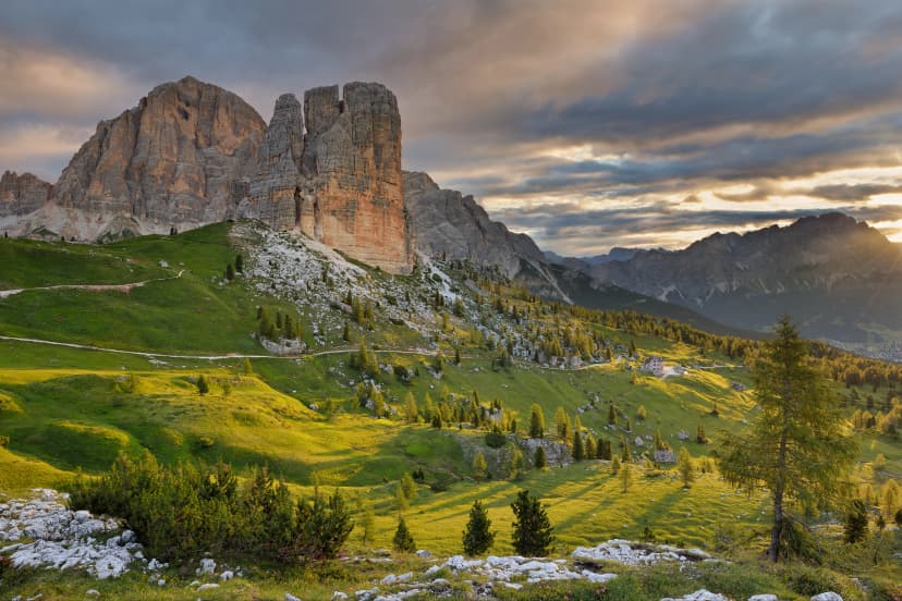
Descend past the Cinque Torri (Five Towers) with their distinctive rock formations, finishing in the elegant mountain town of Cortina.
Here's what you can see:
Best Multi-Week Dolomites Hiking Itineraries (10-14 Days)
1. Alta Via 1 Self-Guided Hike (10 days)
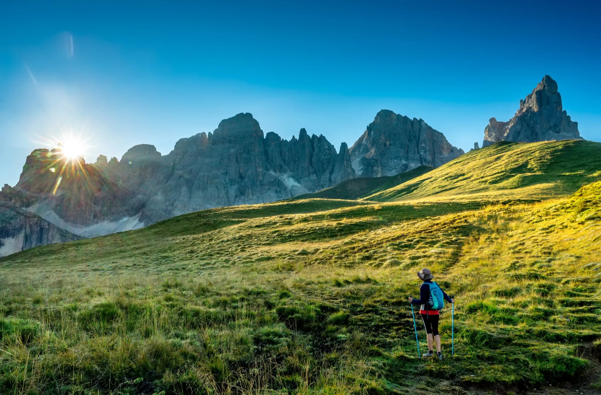
The classic Dolomites traverse—120 kilometers from Lago di Braies to Belluno, passing beneath the range's most famous peaks. This is THE bucket-list Dolomites adventure that combines accessible difficulty with spectacular scenery, earning its reputation as one of Europe's most beautiful long-distance trails.
Why it's the gold standard:
Most beautiful long-distance trail in Europe (and it genuinely lives up to the hype)
Perfect difficulty balance—challenging but achievable for fit, prepared hikers
Rifugio-to-rifugio each night—no camping gear needed, just a daypack
Well-maintained trail with excellent infrastructure and clear marking
What you'll experience:
Ten days of uninterrupted mountain immersion where you wake up already in the high country every morning. You'll pass beneath iconic peaks—Tofane, Nuvolau, Civetta, Pelmo—experiencing the full range of Dolomites landscapes from flower-filled plateaus to stark rocky passes.
Daily stages average 5-7 hours with elevation gains of 800-1,200m, establishing a sustainable rhythm that allows you to appreciate the scenery without feeling constantly exhausted. Each evening brings communal rifugio dinners where you'll share tables with hikers from around the world, forming trail friendships that often last beyond the trek.
Duration: 10 days
Technical: 3/5
Fitness: 3/5

Day-by-day itinerary:
Day 1: Lago di Braies – Rifugio Biella / Rifugio Sennes
The journey begins at the iconic turquoise lake, ascending into the Fanes nature park's alpine meadows.
Day 2: Rifugio Biella – Berggasthaus Pederü / Rifugio Lavarella
Traverse the expansive Fanes plateau where limestone formations create a lunar landscape dotted with wildflowers.
Day 3: Berggasthaus Pederü – Rifugio Lagazuoi
Climb to Lagazuoi's summit rifugio at 2,752m—one of the route's most memorable nights with panoramic sunset views.
Day 4: Rifugio Lagazuoi – Rifugio Nuvolau / Rifugio Averau
Cross high passes with constant views of the Tofane and Cinque Torri, reaching another spectacularly positioned summit hut.
Day 5: Rifugio Nuvolau / Rifugio Averau – Rifugio Citta di Fiume
Descend from the high country, passing through mixed terrain of rock and alpine meadow toward the massive Civetta massif.
Day 6: Rifugio Citta di Fiume – Rifugio Vazzoler
The approach to Rifugio Coldai and onward beneath Civetta's northwest face—1,200 vertical meters of limestone wall rising above you.
Day 7: Rifugio Vazzoler – Rifugio Carestiato
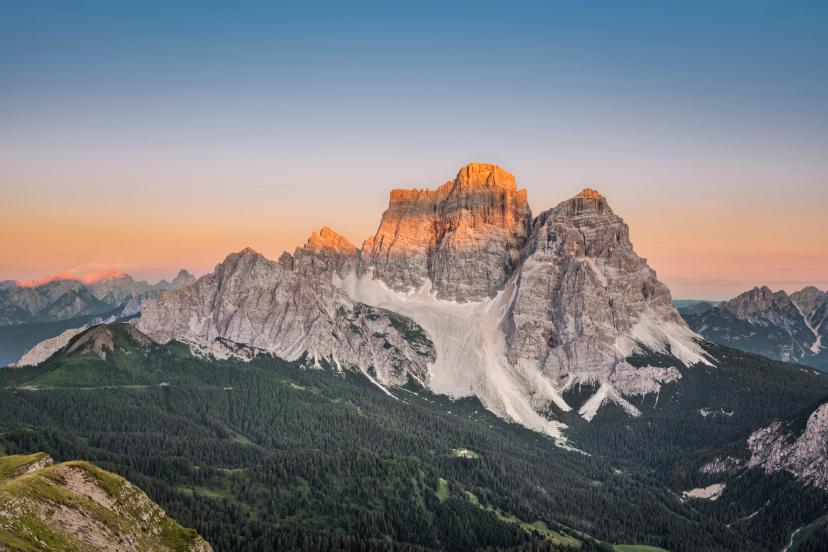
Continue south past Monte Pelmo, one of the Dolomites' most distinctive peaks, through varied terrain.
Day 8: Rifugio Carestiato – Rifugio Sommariva al Pramperet
Cross into the Pala group region where the landscape shifts character again, offering fresh perspectives.
Day 9: Rifugio Sommariva al Pramperet – Rifugio Furio Bianchet
Traverse high ridges with the mountains gradually softening as you approach the southern end of the route.
Day 10: Rifugio Furio Bianchet – La Stanga
The final day descends to La Stanga near Belluno, completing the full north-to-south traverse—a genuine accomplishment.
Visit these spots:
2. Alta Via 1 Guided Hike (10 days)
The same legendary route with expert mountain guides leading the way. Perfect if you want the full Alta Via 1 experience but prefer professional guidance, navigation support handled completely, and cultural/natural history interpretation throughout your journey.
Why choose guided:
Expert local guides share insider knowledge, stories, and perspectives you'd miss hiking independently
Safety and navigation handled—you focus entirely on hiking, scenery, and enjoyment
Small group atmosphere (typically 6-10 hikers) creates camaraderie and shared experiences
Fixed departure dates with guaranteed departures and well-tested logistics
What you'll experience:
Everything from the self-guided route, PLUS the enrichment of professional mountain guides who bring the landscape to life. You'll learn about Dolomites' geology, World War I history, local flora and fauna, and Ladin culture from experts who've guided this route dozens of times. The group dynamic adds a social dimension—many guests form lasting friendships with fellow hikers.
Daily stages match the self-guided itinerary (5-7 hours, 800-1,200m elevation), but with the security of professional support if weather changes, someone needs extra time, or conditions require route adjustments.
Duration: 10 days
Technical: 3/5
Fitness: 3/5
Day-by-day itinerary:
Day 1: Lago di Braies – Rifugio Biella
Your guide introduces the route at Lago di Braies before ascending into the Fanes plateau's unique landscape.
Day 2: Rifugio Biella – Berggasthaus Pederü / Rifugio Fanes
Traverse the high plateau while your guide explains the geological forces that created these distinctive formations.
Day 3: Berggasthaus Pederü / Rifugio Fanes – Rifugio Scotoni
Continue through the Fanes nature park, with guides pointing out wildlife and explaining the area's significance.
Day 4: Rifugio Scotoni – Rifugio Nuvolau / Rifugio Averau
Climb past Lagazuoi with guides sharing WWI history visible in the preserved trenches and tunnels.
Day 5: Rifugio Nuvolau / Rifugio Averau – Rifugio Passo Staulanza
Descend from high peaks through forests and meadows, learning about local flora and traditional land use.
Day 6: Rifugio Passo Staulanza – Rifugio Vazzoler
Approach beneath Pelmo's distinctive pyramid shape while guides explain why it's called "the mountain throne."

Day 7: Rifugio Vazzoler – Rifugio Carestiato
Pass beneath Civetta's massive wall—guides help you appreciate the scale and climbing history of this legendary face.
Day 8: Rifugio Carestiato – Rifugio Sommariva al Pramperet
Cross into the Pala group where your guide's local knowledge reveals hidden viewpoints and perfect photo spots.
Day 9: Rifugio Sommariva al Pramperet – Rifugio Furio Bianchet
The penultimate day brings reflection and anticipation as the group nears the finish together.
Day 10: Rifugio Furio Bianchet – La Stanga
Complete the traverse as a group, celebrating the shared accomplishment with your guide and fellow hikers.
See these places:
3. Alta Via 2 (14 days)
The ultimate Dolomites challenge—160 kilometers from Brixen to Feltre through the wildest, most technical terrain in the range. Alta Via 2 is for experienced mountain hikers who've completed Alta Via 1 or similar demanding routes and are ready to truly test themselves in spectacular surroundings.
Why it's legendary:
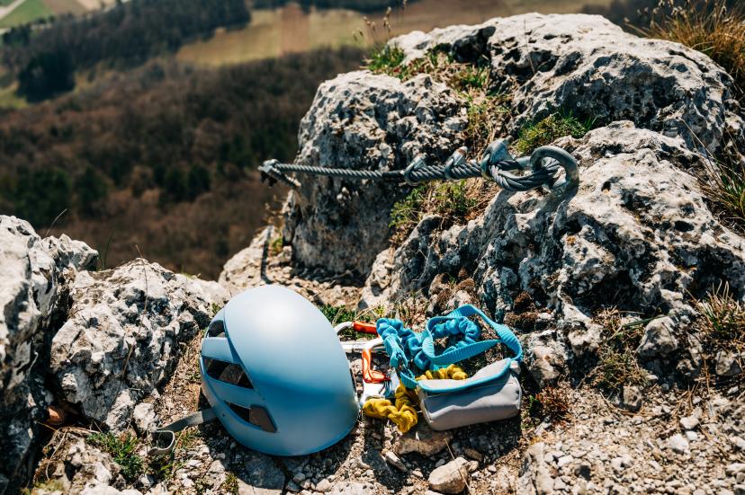
Most challenging Alta Via (5/5 technical difficulty—via ferrata skills required)
Via ferrata sections are mandatory—iron cables, exposure, serious alpine terrain
Remote, wild terrain where you might go hours without seeing other hikers
Immense sense of accomplishment that comes from completing one of the Alps' hardest multi-day routes
What you'll experience:
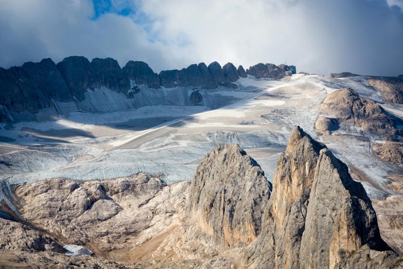
Fourteen days of serious mountain adventure. You'll traverse beneath Marmolada Glacier (the Dolomites' highest peak at 3,343m), navigate (optional) technical via ferrata on the Sella Towers, and cross high passes where weather and conditions demand constant respect.
Daily stages are longer than AV1 (6-9 hours) with bigger elevation gains (1,000-1,500m), requiring not just physical fitness but mental fortitude for sustained effort day after day. The remoteness and challenge create a genuine expedition atmosphere—this isn't a walk, it's mountaineering-grade trekking that rewards prepared adventurers with unforgettable experiences.
Duration: 14 days
Technical: 5/5
Fitness: 4/5
Day-by-day itinerary:
Day 1: Arrival in Bressanone
Settle into this historic northern town, final gear checks, and preparation for the journey ahead.
Day 2: Bressanone – Rifugio Plose
Begin the route with a significant climb to Rifugio Plose, easing into the mountain rhythm.
Day 3: Rifugio Plose – Rifugio Genova
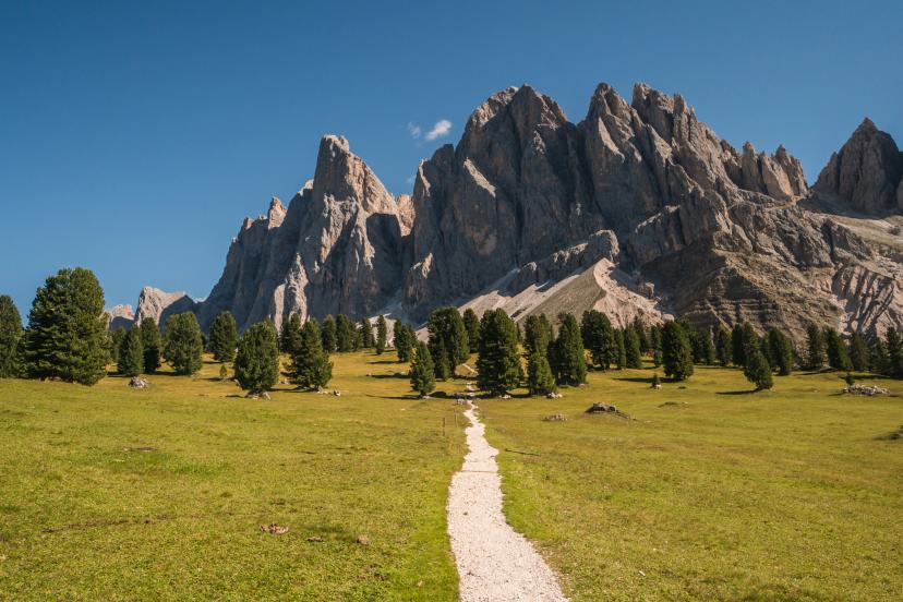
Cross into the Puez-Odle Nature Park with its distinctive pale limestone formations and vast alpine meadows.
Day 4: Rifugio Genova – Rifugio Puez
Traverse high terrain in the Puez group, experiencing the route's first taste of serious exposure.
Day 5: Rifugio Puez – Rifugio Franco Cavazza al Pisciadù
Technical via ferrata sections begin—iron cables and fixed protection guide you across steep terrain.
Day 6: Rifugio Franco Cavazza al Pisciadù – Rifugio Castiglioni Marmolada
The approach beneath Marmolada Glacier—one of the route's most spectacular and demanding days.
Day 7: Rifugio Castiglioni Marmolada – Passo San Pellegrino
Descend from the high glacial environment toward the pass, transitioning between mountain groups.
Day 8: Passo San Pellegrino – Rifugio Volpi al Mulaz
Re-ascend into high terrain, crossing exposed ridges with commanding views of surrounding peaks.
Day 9: Rifugio Volpi al Mulaz – Rifugio Rosetta
Enter the Pale di San Martino group where lunar landscapes create otherworldly hiking.
Day 10: Rifugio Rosetta – Rifugio Treviso
Traverse the Pale plateau—stark, dramatic, and unlike anywhere else in the Dolomites.
Day 11: Rifugio Treviso – Rifugio Cereda
Continue south through remote terrain where trail traffic drops significantly.
Day 12: Rifugio Cereda – Rifugio Boz
Cross varied terrain mixing alpine meadow, forest, and exposed ridgeline hiking.
Day 13: Rifugio Boz – Croce d'Aune
The final high-altitude day before the route descends toward its southern terminus.
Day 14: Departure from Feltre
Complete the traverse;—you've conquered Alta Via 2, one of Europe's most demanding multi-day mountain routes.
Experience these highlights on the way:
Suggestiong for Planning
When to go: Late June through mid-September for rifugio-based itineraries. Rifugios open throughout June and close in mid-September, so verify specific opening dates for your chosen route. See our month-by-month guide for detailed seasonal considerations.
How we help: All our itineraries include pre-booked rifugio accommodations, detailed GPS tracks, daily route instructions, and 24/7 emergency support. For self-guided tours, you get complete flexibility on pace—start when you want, hike as fast or slow as you prefer. For guided tours, expert mountain guides handle everything while enriching your experience with local knowledge.
Getting there: Most itineraries start near Cortina d'Ampezzo, Ortisei, or other accessible mountain villages with good public transport connections. Alta Via routes typically require transport to the starting trailhead and from the finishing point. See our complete transport guide for detailed directions from airports and gateway cities.
Booking timeline: For July-August departures, book 4-6 months ahead. June and September offer more flexibility with 2-3 months typically sufficient. Popular routes like Alta Via 1 fill up fastest—don't wait until spring to book summer treks.
What’s Your Perfect Itinerary?
The perfect Dolomites hiking itinerary depends on your available time, experience level, and what you're hoping to experience in these legendary peaks. Short trips (3-6 days) deliver concentrated alpine experiences perfect for limited vacation time, while multi-week routes (10-14 days) provide full immersion in Dolomites culture, scenery, and mountain challenge.
Ready to start planning your Dolomites adventure? Browse our complete tour collection to explore detailed day-by-day breakdowns with maps, elevation profiles, and comprehensive planning information.
Have questions about which itinerary suits your experience level and goals? Get in touch and we'll help you choose the perfect route for your schedule, fitness, and wishes.

About this author
Anja is our lead travel advisor and a lifelong hiker who has planned countless adventures across Europe. She prefers sunsets to sunrises — unless coffee is involved — and, ever since her first rock-climbing course, joins friends on climbing trips whenever she can.